


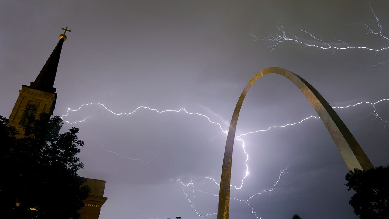
A cold front will drift eastward this evening, bringing the chance for showers and thunderstorms. While the storms look to be strong to severe in central Missouri, they will weaken as they arrive in our area. Temperatures will be in the lower 70s as winds stay gusty.
The front looks to stall close to the region tonight and tomorrow, so this means we’ll see rounds of showers and storms through late tomorrow afternoon. While we are not expecting severe weather, several waves of wet weather could produce isolated ponding on the roads. Under the clouds and wet weather, temperatures will be kept to the upper 70s.
Unsettled conditions persist mid to late week as the front stalls close to the region. While it won’t be raining all day every day, there are chances for showers and storms through this period. Temperatures will stay in the lower 80s.
 |
Scattered thunderstorms Low: Near 70; Winds: South at 10 to 15 mph, gusts to 25 mph High: Near 80; Winds: Becoming West at 10 mph Hour-by-hour forecast | Share your weather photos | Turn on weather notifications | Radar |