


And just like that, Lake Erie has increased its ice cover from around 15% to almost 80% in a few days.
The lake was sitting just above freezing for a long time and needed calm subfreezing weather to rapidly increase its ice cover. That’s exactly what we’ve seen this week.
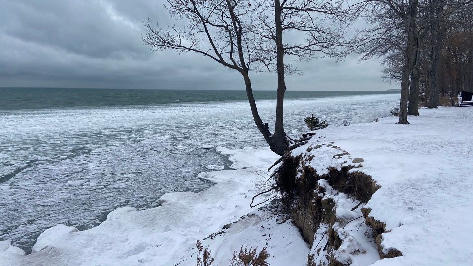
While warmth is an ice pack killer, wind and wave action are the true deterrent of lake ice.
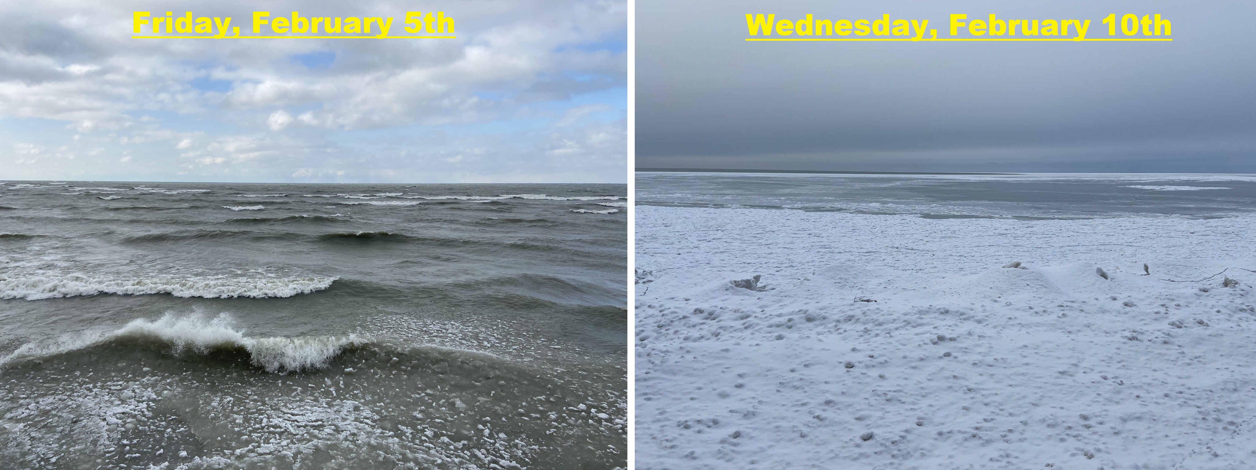
I took the picture on the left last Friday, and outside of some slush near the shore, the lake was pretty much wide open. I took the picture on the right only five days later, and while you can still make out some open water in the distance, the ice explosion is impressive.
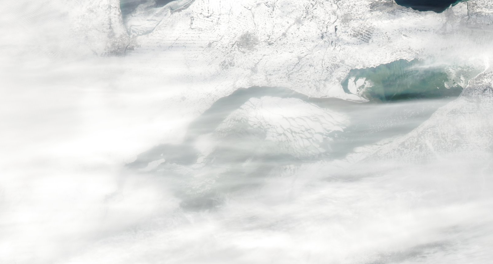
This chart shows how quickly we went from near-record lows for ice cover in January to above-average ice cover currently.
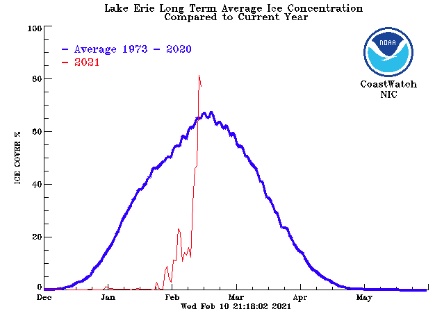
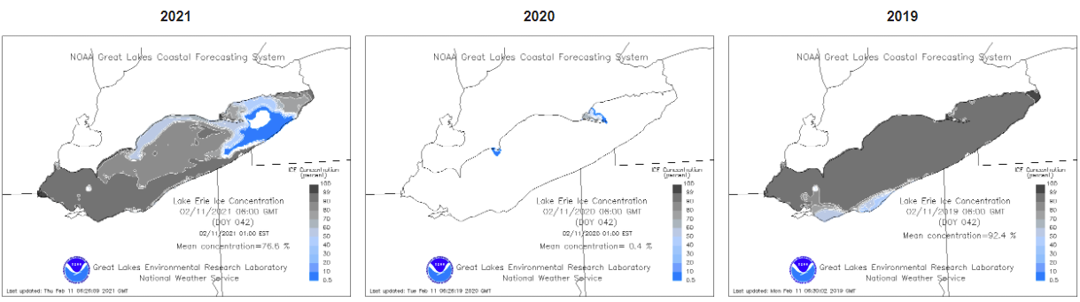
If you compare the ice cover the past few years, you can see some pretty big swings. As of February 11, 2021, the lake was sitting at 76.6% ice cover.
Last year, we barely had any ice at this point, only 0.4%. In 2019, the lake was almost completely frozen over at this point, sitting at 92.4%. If you remember, 2019 was also the spring where the lake didn’t ice out until May.
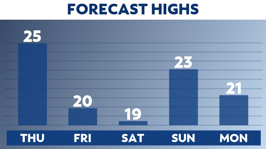
The lake will continue to ice up as we expect sub-freezing temperatures into next week. Here is a look at our 5-day high temperatures.
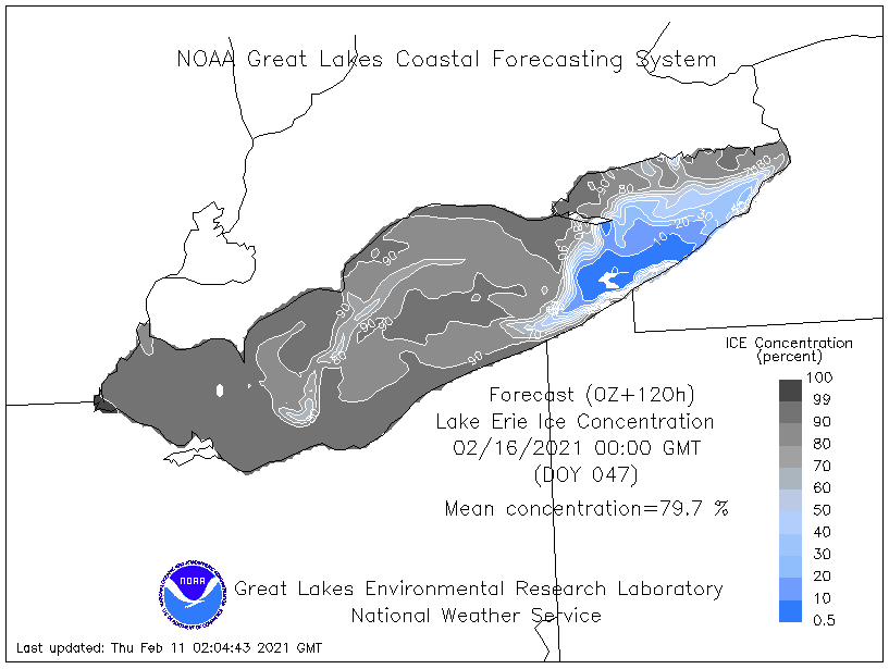
As a result, the NWS forecasts Lake Erie’s ice cover to be solidly around 80% early next week. I wouldn’t be surprised if it’s more in the 80 to 85% range.
The next question is, with so much ice now on the lake, does that mean lake-effect snow is over? The answer is not quite.
While the big lake-effect events are likely over, we can still pick up snow showers until almost 100% ice cover. When that happens, lake-effect snow will see some impacts.