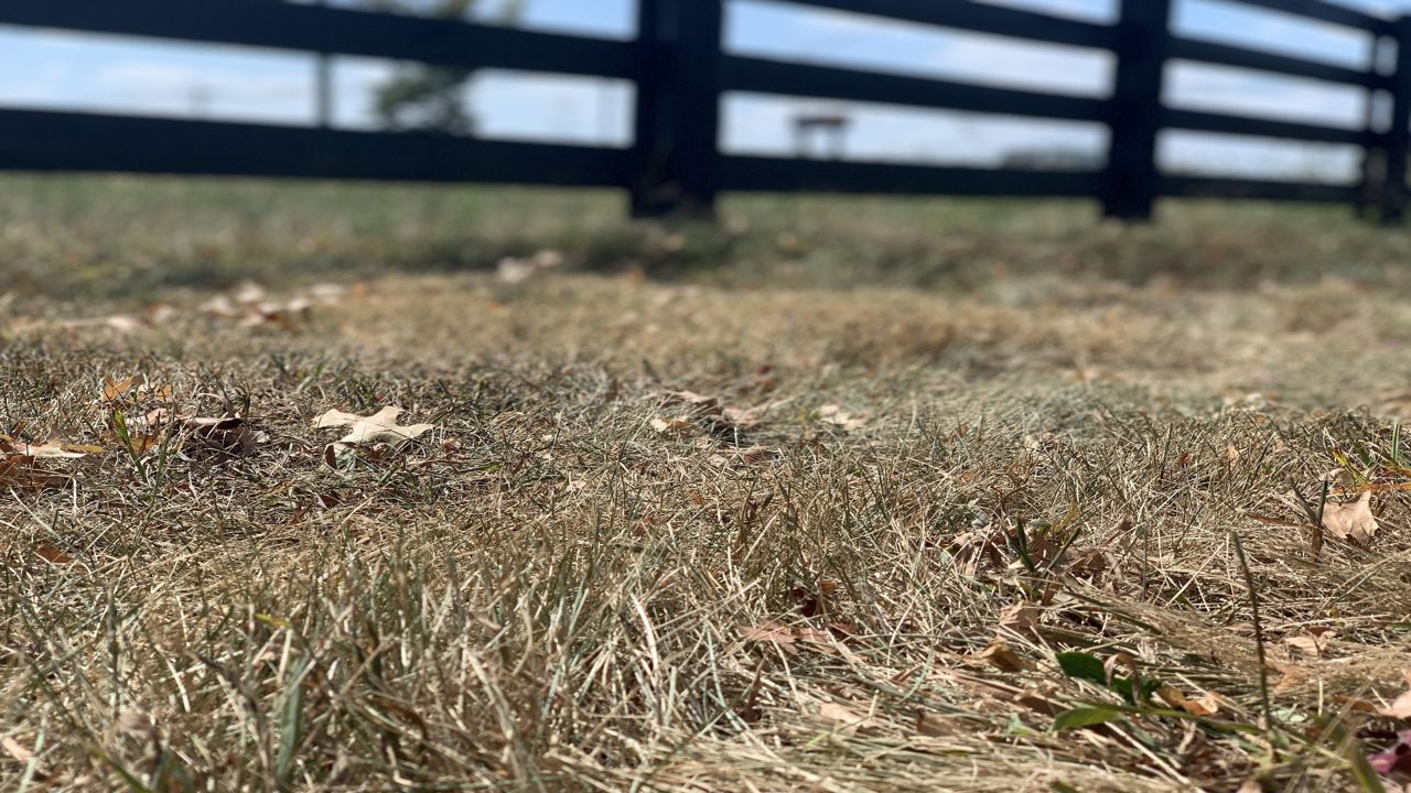
Even though it seems we’ve had more rain recently, it hasn’t been the soaking, widespread rain we need. Much of the region has been under the abnormally dry category for some time.
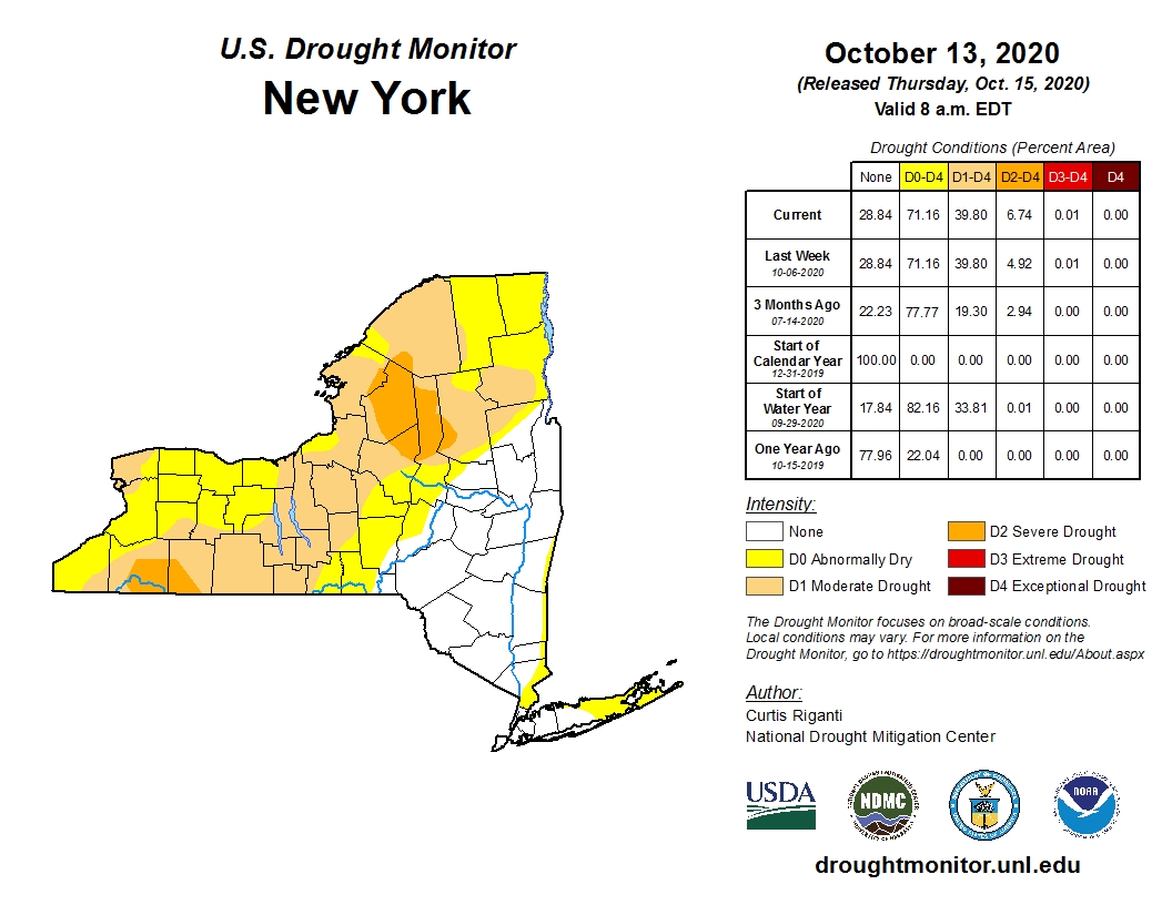
However, when the drought monitor came out last week, we had a couple of areas across western NY under moderate drought conditions. Those areas were across portions of Niagara, Cattaraugus, extreme northern Erie, and Allegany Counties.
The latest drought monitor came out on the 15th, and we now have areas of Cattaraugus and Allegany Counties under severe drought conditions.
If we look across the state, the percent of severe drought areas increased from 4.92 percent to 6.74 percent.

Much of the rain we’ve seen lately has been more of the local variety provided by lake-effect. That’s one of the reasons why areas from Buffalo and points east and along Lake Erie are only under abnormally dry conditions.
At the Buffalo airport, where we’ve seen some of the lake effect rain, we’re still running 0.36 inches below the average precipitation to this point in October. September finished 0.5 inches below the average, and August finished 1.16 inches below the average.

One of the benefits of the dry weather has been that the lake levels have dropped across much of the Great Lakes, including Lake Erie, from the record levels of last year.
The levels are still very high, but after experiencing some of the seiche events last October and November, every bit lower helps.
Lake Erie is running 3.05 inches below the average for precipitation for the last 12 months, which is welcomed, especially after several years of above-average precipitation.

While we do expect more rain chances, we will not see any major shifts in the pattern over the next few weeks.
This means more of the status quo, with abnormally dry to severe drought conditions continuing for portions of western NY and lake levels continuing to fall.


