


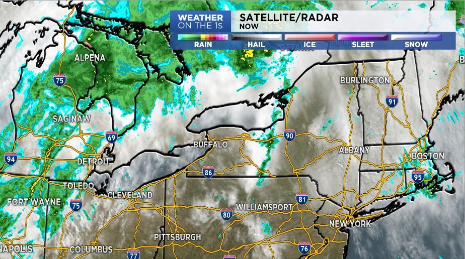
A cold front will approach tonight with mostly cloudy skies and scattered showers late. Lows will only be in the mid 50s for some, but further south where rain holds off will remain in the low 60s.
A cold front will gradually drop across the region tomorrow with widespread rainshowers and possibly some thunder. We’ll spend most of the day in the 50s, although areas of the Southern Tier may try to pop back up well into the 60s. By evening, behind the cold front, temperatures will fall into the upper 30s and low 40s.
Saturday will be damp and seasonably cool with showers, steadiest earlier in the day. Once the rain comes to an end throughout the afternoon, the sun will; break out and will allow temperatures to climb above average. Expect highs to be near 60.
Easter looks mainly dry with highs around 60. Mainly dry and pleasant weather will continue for Dyngus Day with highs near 60. Rain looks to return later Monday night into Tuesday of next week.


)