The story of rising water is now commonplace along the shoreline of Lake Ontario. And devastating flooding is happening early this year.
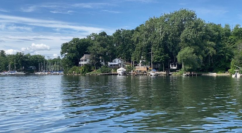
"Three to four inches of water in our showroom, in our boat room, that we built up in 2017 because we thought we were safe," said Green Point Marina Owner Cheryl Yerdon.
In both years of historic flooding, many are quick to criticize the International Join Commission's Plan 2014, which aims to regulate water levels to help area ecosystems.
Though it is a factor, it's not the main one, said Charles Driscoll, a civil and environmental engineering professor at Syracuse University.
"It's really the climate change that's the big driver here," Driscoll said.
More rain and more intense rain events across the Northeast are leading to rising water levels on the Great Lakes, Driscoll said.
"Under climate change, we can think of the water cycle, which is the falling of water out of the atmosphere to the land surface and the evaporation back up to atmosphere. Those processes are accelerated because of increases in temperature and just increases in the quantity of precipitation," Driscoll said.
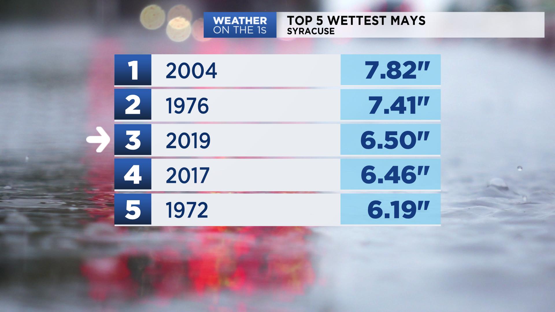
Indeed, 2019 and 2017 both ranked as the third and fourth wettest Mays on record in central New York.

It's a long-term trend that dates back for decades. Driscoll said Plan 2014 is designed to work around the changes.
"The idea about this plan is to make the near shore area more functional and adaptable to changing conditions," Driscoll said.
Driscoll added that lakeshore communities will need to plan and adapt infrastructure for the impacts of the ever-changing climate.
But for right now, homeowners and business owners are at a loss for what to do as flooding continues.


)

