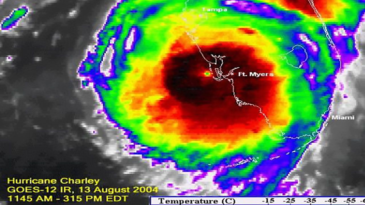
Hurricane Charley slammed into southwest Florida as a Category 4 hurricane 20 years ago.
As it rapidly intensified, winds reached 150 mph at landfall.
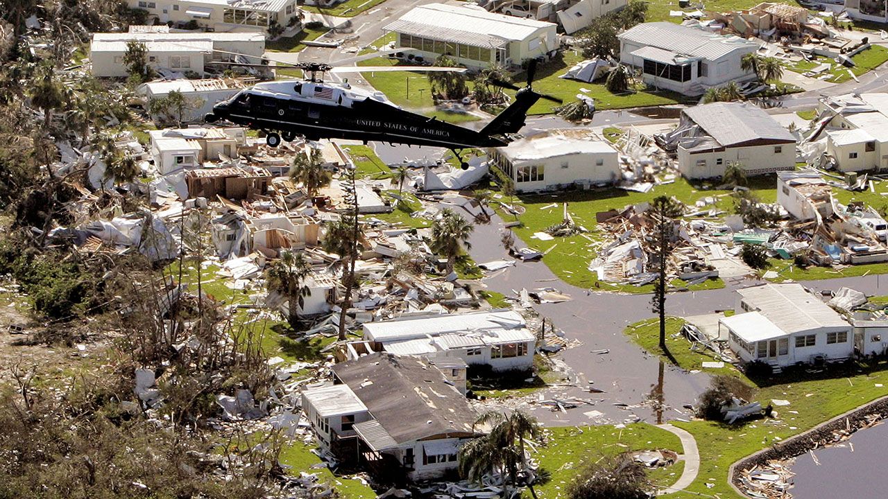
The damage to come was inevitable. Charley isolated communities for several days and demolished homes and businesses.
While Charley was expected to make landfall in Tampa Bay, most of the west coast of Florida still had to prepare for the impact of the storm.
On the morning of Aug. 13, 2004, Hurricane Charley started to shift to the east. Alan Winfield and I at Bay News 9 were the first on TV in Tampa to call Charley missing Tampa Bay and hitting south, at about 8:30 a.m. on that fateful morning.
At about 6 a.m., I saw the eye of Charley on our first live Doppler radar at a 300-mile range over the Dry Tortugas (the islands west of Key West). I knew then it was getting much stronger than the forecast, and as we watched over the next couple of hours, it veered slightly to the east.

While it spared Tampa Bay, Charley devastated places like Captiva Island, Cayo Costa and Port Charlotte.

Charley continued northeast across the Florida peninsula, bringing a path of destruction that was described as a “20-mile-wide tornado.”
There was a wind gust of 147 mph in Wauchula. Polk County reported gusts over 100 mph, and there was a 106 mph wind gust in Orlando.
Hurricane Charley was responsible for nine deaths in Florida and caused nearly $17 billion in damage.
Charley was the first of four hurricanes to make landfall in Florida that season.
Our team of meteorologists dive deep into the science of weather and break down timely weather data and information. To view more weather and climate stories, check out our weather blogs section.


