


As we thaw out from a brisk winter season, an active spring severe weather season may be waiting ahead. There are atmospheric signs today that preceded devastating seasons from years past.
We’re still in the La Niña weather pattern that helped our record-setting hurricane season last year. La Niña and El Niño both deal with warmer or cooler than normal temperatures in the eastern Pacific Ocean near the equator.
La Niña occurs when those Pacific Ocean temperatures are cooler than normal. We're currently in a strong pattern that looks to persist through about April, and then there is a 60% chance that the water temperatures will neutralize.
So what does this mean for our upcoming severe weather season? It means we should expect a warmer and wetter season, which could also mean more severe storms.
I did some research to put things in perspective. The chart below shows North Carolina's statewide tornado count between February and May. The La Niña years (in bold) show some correlation between a higher number of tornadoes during a La Niña spring.

I’m sure 2011 caught your eye. After a relatively calm March, more than 700 tornadoes were reported nationwide in April of that year, including some here in North Carolina.
We’re in a similar setup to 2011, but there's no need to panic. Remember, no two seasons are alike, so we can definitively say that this year's tornado season will not be a repeat of 2011.
However, we are expecting a more active spring than normal.
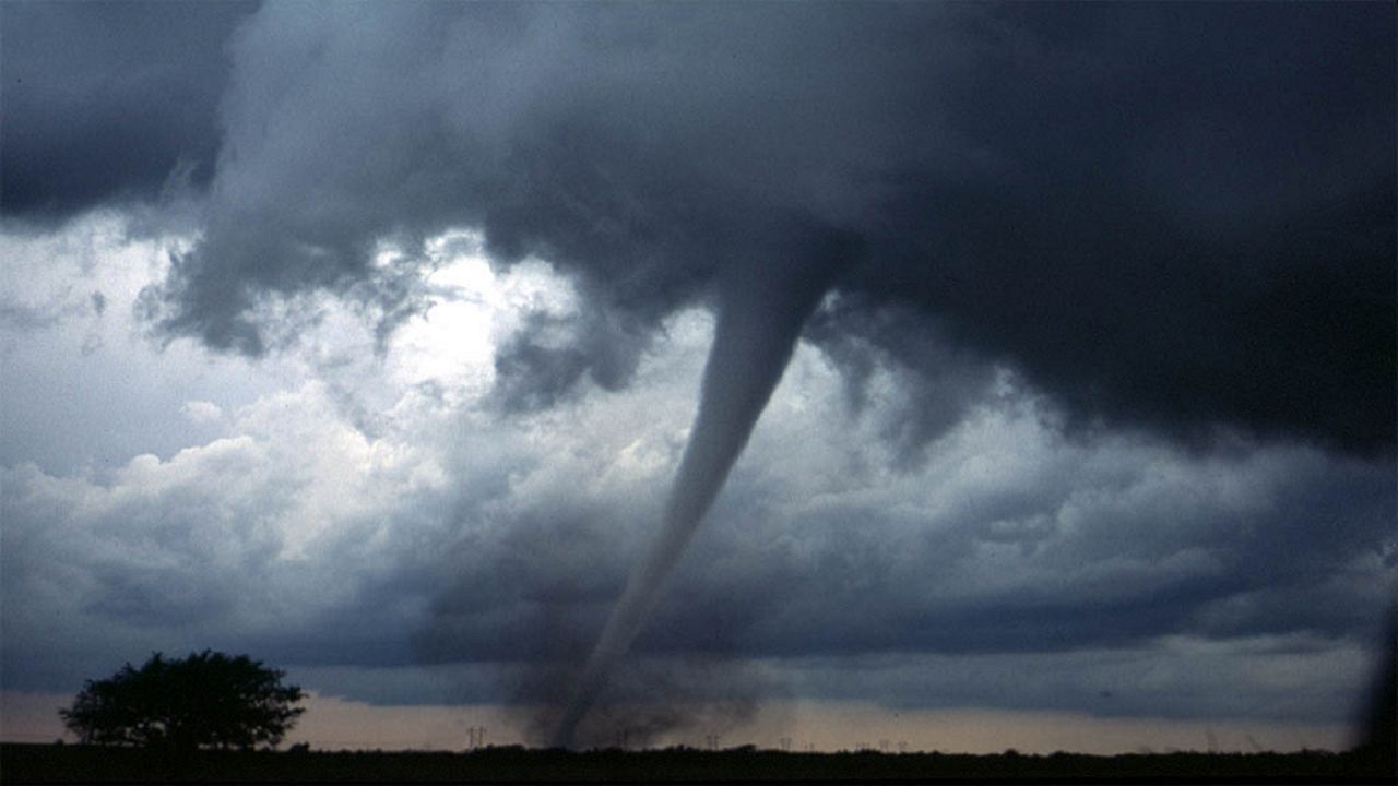
Let the Brunswick County EF-3 tornado in February serve as an example that severe weather can strike at any time. That tornado claimed lives, and it could serve as a prequel to what could be an active 2021 spring severe weather season due in part to La Niña.