High pressure over Hudson Bay has started this workweek off on a dry and sunny note. It will not stay that way for too much longer due to a new storm system on the way. An area of low pressure and its trailing cold front will arrive in state tomorrow and bring rain for Tuesday and Wednesday.
- Interactive Radar
- 7-Day Forecast
- Connect with Meteorologist Vernon Turner on Facebook
- Follow Meteorologist Vernon Turner on Twitter
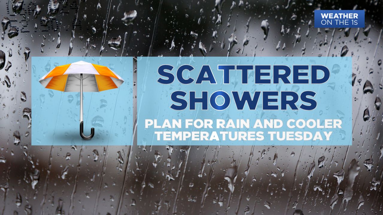
Clouds will dominate the sky through the day Tuesday. Passing scattered showers will be passing by throughout the day and night. Rainfall totals range between a tenth to a half an inch of rain. As the low pressure moves in from the southwest, an area of high pressure will situate itself to the northeast. This will start a weak cold air damming set up, trapping cooler air in the state. Rather than normal highs in the mid to upper 70s, highs will be limited to the 60s for many. Some locations may not make it out of the 50s.
Chilly high pressure will build in behind Tuesday's rain maker, bringing an end to the rain for the entire state by Wednesday. Highs will be below normal each day for the back half of the workweek. This weekend is Mother's Day weekend, and even cooler temperatures are expected.
A big batch of cold air will come down from Canada and lead to highs in the 60s Saturday and Sunday. Saturday night may be the coldest night this weekend with lows possibly dipping down into the 30s. Patchy frost may develop early Sunday morning, so be on the lookout for possible frost advisories from the National Weather Service this weekend.