


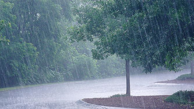
NORTH CAROLINA -- Many yards across North Caroina are still quite soggy after a very wet last half of May.
What You Need To Know
- May 2020 was the third wettest May on record for North Carolina based on climate data that dates back to 1895.
- The wettest spot in the state was Jacksonville with over 15" of rain.
- Wetter than normal conditions are forecast to continue through the summer months.
The latest stats released this week by the State Climate Office and the National Centers of Environmental Information shows the statewide average rainfall last month was 7.45 inches. That makes May 2020 the third wettest May on record for the state based on climate data that dates back to 1895.
Much of the rain that fell last month came from an upper-level low pressure that stalled west of the Carolinas for a few days.
Tropical Storm Arthur also added to rainfall in some coastal locations. Jacksonville was the wettest spot in the state for the month with just over 15 inches of rain.
It is interesting to note that most of the rain across North Carolina in May fell during the second half of the month. The first half of the month was quite dry in many areas.
For example, Greensboro only measured around a tenth of inch of rain the first two weeks of the month. By the end of the month, the Piedmont Triad International Airport had measured over nine inches.
While the majority of the state did end the month with above average rainfall, that was not the case for all of North Carolina. Some spots in the far western mountains and in the northeastern part of the state measured below average rainfall.
The driest spot in the state was Lewiston with less than three inches of rain.
The long range outlook for the summer months of June, July and August is for continued wetter than average conditions in the Carolinas.
Follow Meteorologist Lee Ringer on Facebook, Twitter, and Instagram.