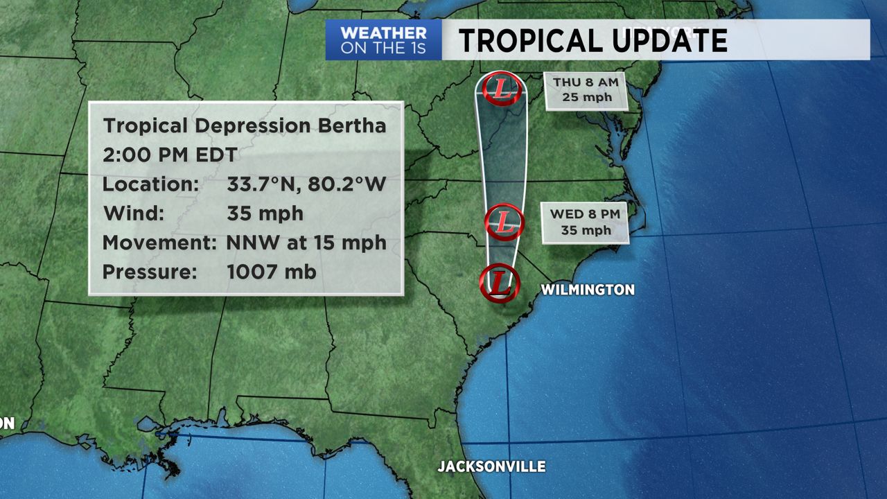
NORTH CAROLINA – Tropical Storm Bertha formed this morning and soon thereafter made landfall. Landfall occurred around 9:30 a.m. near Mount Pleasant, South Carolina.
As of 5 p.m. on Wednesday, Bertha has been downgraded to a tropical depression. The storm will continue to weaken as it moves farther inland, but it will continue to drop moderate to heavy rain as it moves through the Carolinas.
A swath of heavy rain will move northward as Bertha moves from South Carolina into North Carolina. Expect 2 to 4 inches for rainfall totals, with locally higher amounts likely from eastern South Carolina into central North Carolina.
With the ground already very saturated, additional rainfall could cause life-threatening flash flooding. Be on the lookout for possible flooded roadways. Flooding around rivers might also be a problem.
There will also be the chance for a few spin-up tornadoes east of the track in the eastern Carolinas.
Rough surf and rip currents expected along the coast for the next couple of days.