


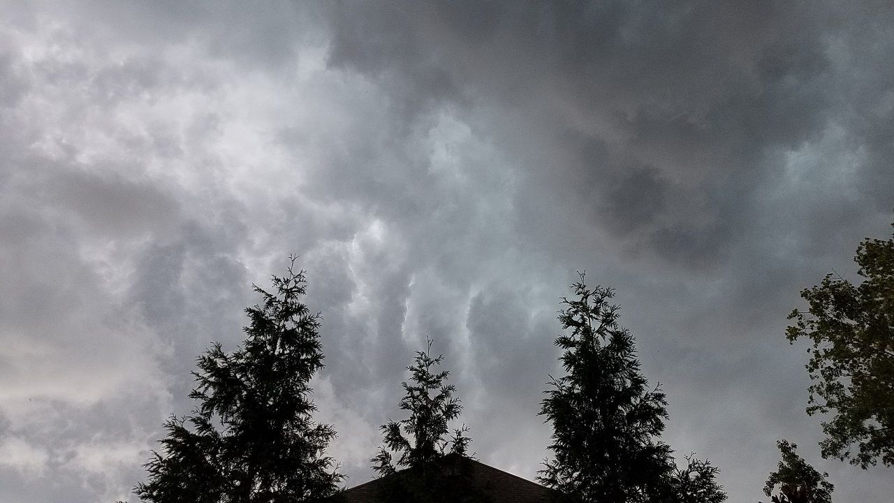
We will have to keep an eye the sky again Thursday afternoon and evening. Another round of scattered showers and storms is expected across central North Carolina.
The storms should begin to develop between 2 and 4pm as temperatures warm to near 90 with a heat index in the upper 90s.


While not everyone will see rain due to the "hit or miss" nature of the storms, some locations could see locally heavy rain. The storms will also be capable of producing frequent lighting. A few could produce wind gusts strong enough to down trees and cause spotty power outages.
- Sign up for text and e-mail weather alerts
- Interactive radar
- Share your weather photos with @LeeRingerWx on Twitter
The strongest storms Thursday afternoon should occur mainly southeast of the Triangle. The Storm Prediction Center has outlined this area for a level 1, or low, risk for a few severe storms.

Most of the storms should come to an end between 10pm and midnight. However, an isolated shower or storm cannot be completely ruled out just past midnight.
Friday could bring yet another chance for scattered storms in the afternoon. There's just a slight chance for an isolated storm by Saturday.
Stay tuned to Weather on the 1s on Spectrum News for updates.