


After a few early morning showers, Mother Nature allowed for the sun to return to the Carolinas on Monday.
The brighter setting ran alongside a milder feel on Monday with many locations peaking in the upper 50s and 60s for a high today.
Sadly this mild feel will not last too long. Cool high pressure is on the way from the Northern Plains on Tuesday. The high will filter cold air into the Carolinas Tuesday limiting highs for many to the upper 40s.
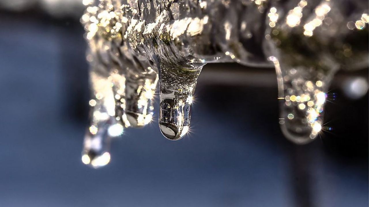
With cold air in place ahead of it, an area of low pressure arriving late Tuesday night will have the chance to bring wintry weather to the area. Expect a bright start to our Tuesday as clouds gradually overtake our skies. By the afternoon expect overcast skies with highs in the 40s. Precipitation will arrive late into the evening and night, so much of the day will be a chilly, non-issue. Precipitation will likely begin as a chilly rain and switch over to a wintry mixture as we head into Wednesday morning.
Accumulation totals are not looking too impressive. For the Greensboro-Triad area, up to a tenth of an inch of ice accumulation will be possible. For the Triangle area, expect less than a tenth of an inch. With that being said, the area that has the highest impact potential will be areas north and west of I-85. Wednesday morning, travel conditions could be hazardous especially along elevated surfaces such as bridges and overpasses, or on any untreated roadways.
With an ample amount of moisture available, rain chances will remain quite high for the remainder of the week. Expect scattered to numerous showers Wednesday and early Thursday. So keep the umbrella closeby, dry weather doesn't look to fully return back to the state until after the weekend.