


NORTH CAROLINA -- Mother nature has not been kind to the Carolinas this weekend. With high pressure to our north and low pressure to our south we remain in a textbook cold air damming setup. This means below average temperatures for much of the state. Rather than normal highs in the low to mid 50s, highs will peak today in the 30s and 40s.
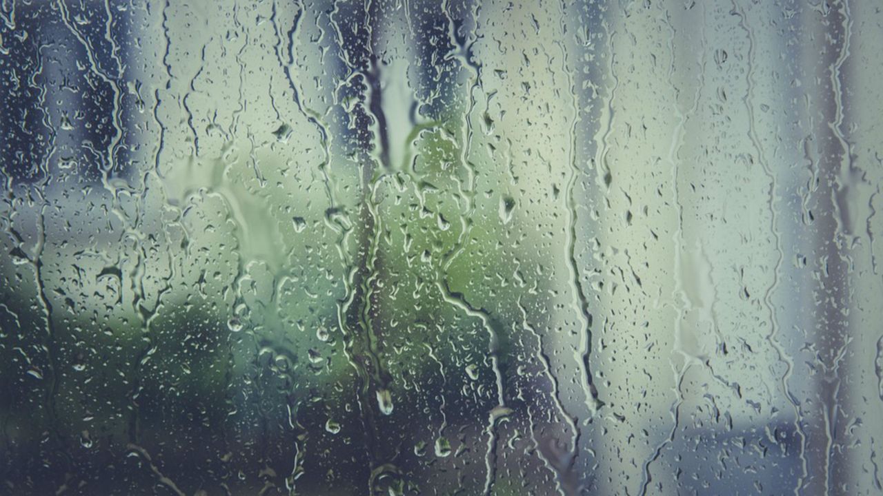
If the chilly setting wasn't bad enough, more rain is on the way. Expect off and on light showers through the day. Rain coverage will be scattered through the afternoon and expand tonight as an area of low pressure and cold front passes by. Rain intensity is expected to increase tonight as well. We'll deal with mostly moderate showers with a few heavy pockets of rain possible overnight. Rain will carry over into early Monday morning.
Over the next seven days, Monday looks to be the best day of the week. After early morning showers, skies will likely clear through the remainder of the morning. This will allow for a bright and mild President's Day afternoon with highs near 60.
Take advantage of this dry and sunny setting because our next storm system will arrive late Tuesday afternoon.
We'll continue with a likely rain chance for the remainder of the workweek and next weekend. With consecutive rainy days in our forecast, flash flooding will be a growing concern over the coming days. No need to panic, just remain mindful if you live in a flood prone area or near a body of water. Based off the latest data, rainfall expectations fall anywhere between two to five inches over the next seven days.