


RALEIGH, N.C. -- High pressure is to our north supplying cold air as a developing area of low pressure in the Gulf of Mexico brings moisture.
- Temperatures will fall to near 30 degrees overnight
- Snow totals could reach between 4 to 8 inches in some areas
- Other areas could see between 1 to 4 inches of snow
This is a classic scenario for a major winter storm for the region, we just don’t usually see it this early in the season. The low will track northeast towards the coast of the Carolinas Sunday and intensify .
As the low builds into the region tonight an overnight, temperatures will fall to near 30 degrees. Any rain that falls overnight will quickly transition to snow for all but the southern areas. Based of the latest data our highest snow totals will likely fall just north and west of I-85 where accumulation could reach between 4 to 8 inches. This could include the Durham, Chapel Hill and the Roxboro areas.
Moving east towards Raleigh and to the south and east, here we may receive between 1 to 4 inches. Based off the track of the low and timing of the change over of rain to snow, these accumulation forecast can change.
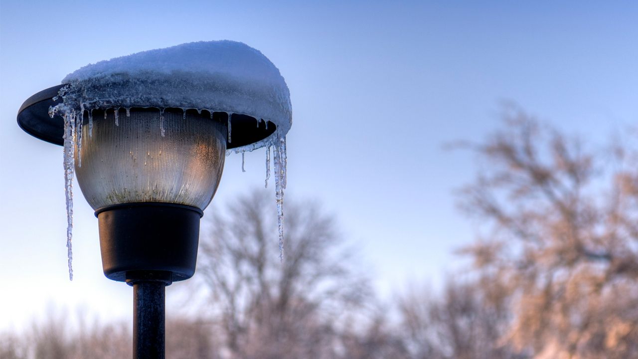
To go along with the snow, ice accumulations are also possible. So be careful when walking near trees and power lines. Also bridges, overpasses and secondary roads are the most susceptible to accumulating ice. Road conditions will turn more hazardous through the day Sunday and into Monday morning. If you have to get on the road, take it slow and be sure to give plenty of space between you and any other cars on the road.
Winds will also be an issue with this storm system strengthens off the coast. Sunday into Sunday night we could see wind sustained winds of 20 to 25 mph and gust of 30 to 35 mph are possible.
So, with snow and ice weighing down tree limbs and power lines to go along with strong winds, power outages are expected. Make sure you have cell phones, laptops and any other electronic devices charged now before you power possible goes out.
Areas east of the I-95 corridor will likely receive very little wintry weather, but remain weather aware as this system is an efficient rain producer and may cause some flash flooding for poor drainage areas and homes near bodies of water.
Remain connected for future updates as we continue to monitor this storm and provide updates.
Stay with Spectrum News for complete winter weather coverage:
Get the latest news, sports and weather delivered straight to your inbox. Click here to sign up for email and text alerts.