


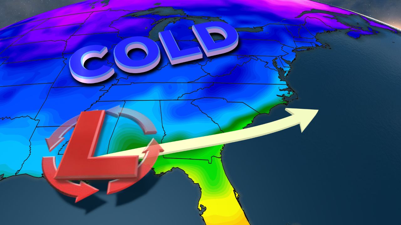
An early winter storm is set to impact the Carolinas from late Saturday into early Monday. This will likely be a classic case where central North Carolina including the Triangle falls very close to the line between just a cold rain and a mix of rain, snow, sleet, and freezing rain.
- 7-day forecast
- Interactive radar
- Share your weather photos with Meteorologist Lee Ringer on Facebook
Through the first half of this week, the storm system that will affect our area this weekend has been located of the Pacific Ocean. As the system finally moves over land with more available weather data through the rest of this week, the forecast should become more certain.
For now, western North Carolina from Asheville to Boone has the greatest chance for accumulating snow and sleet that could lead to hazardous travel conditions and the possibility for power outages. Locations across the Piedmont from near Greensboro to Charlotte could see a transition back and forth from a cold rain to a mix of snow, sleet, and freezing rain. However, it is still too early to tell if that will be an extended period of wintry precipitation leading to significant accumulations.
South and east of Raleigh including Fayetteville, Goldsboro, and the coast, all rain is expected at this time. Locations that see all rain should measure at least one to two inches. A few spots could see more.
A shift in the storm's track by just 50 miles could greatly change our weekend outlook.
Stay tuned to Weather on the 1s from our new state of the art forecast center for updates through the week.
