


NORTH CAROLINA -- Enjoy the cooler setting while you can because we’ll be back sweating through the heat and humidity by the end of the week.
- We’ll deal with another round of evening showers and storms
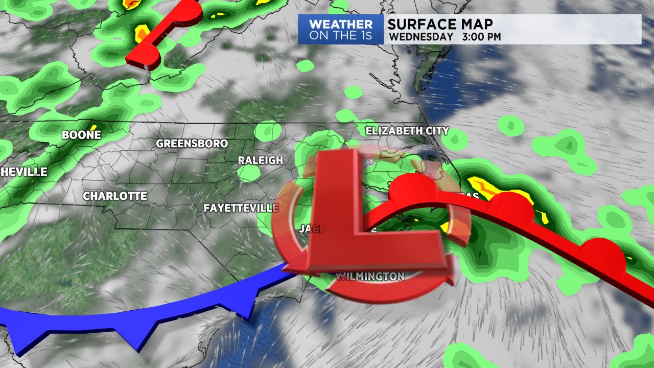
- Wednesday will feature mostly cloudy skies with a few showers and warmer temperatures
- A new cold front will sweep through Thursday providing another round of rain for the state
A cold front has stalled over southern North Carolina, which has kept our day cloudy and soggy. We’ll deal with another round of evening showers and storms before this front gains momentum and gets out of here tomorrow.
The front will lift north as a warm front tomorrow and Wednesday will be the beginning of a warming trend. Wednesday will feature mostly cloudy skies with a few showers and warmer temperatures, mainly over eastern North Carolina.
After highs today in the 70s and 80s, we’ll have highs near average in the upper 80s to low 90s.
A new cold front will sweep through Thursday, providing another round of rain for the state. However, following the front is a big batch of high pressure that will stay in place through the weekend.
Friday, Saturday and Sunday will be hot as we close out the month of June and head into July. Expect mostly sunny skies and highs in the mid-90s each afternoon.