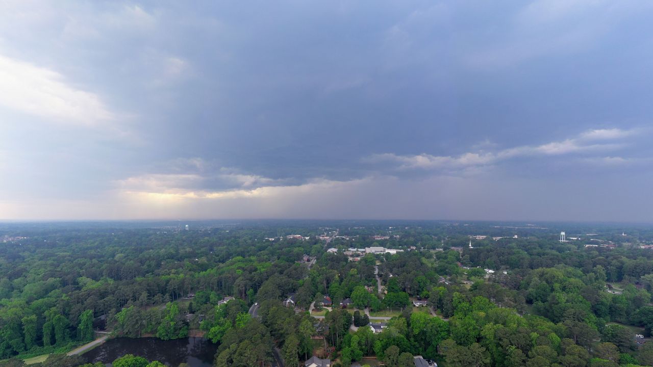
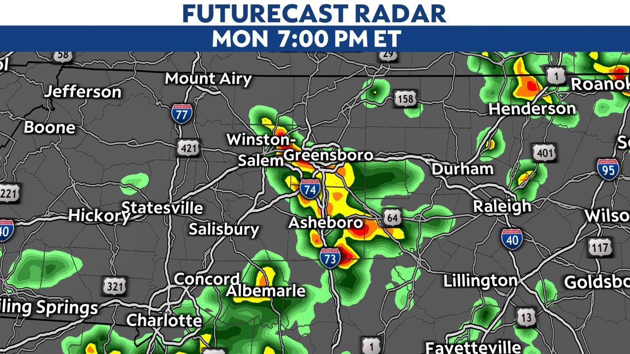
A broken line of thunderstorms formed near the Blue Ridge along a frontal boundary this afternoon. With daytime heating and high humidity, conditions are favorable for storms to become strong or severe and maintain their strength.
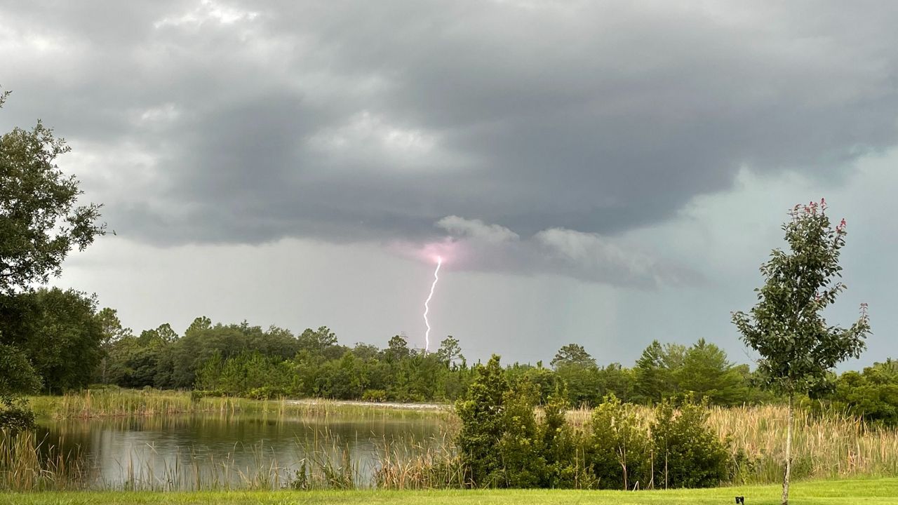
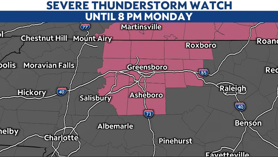
A Severe Thunderstorm Watch is in effect for parts of the Triad until 8 p.m. tonight. The main threats will be strong, damaging winds. With no real significant shear in the atmosphere, spin-up tornadoes are not likely.
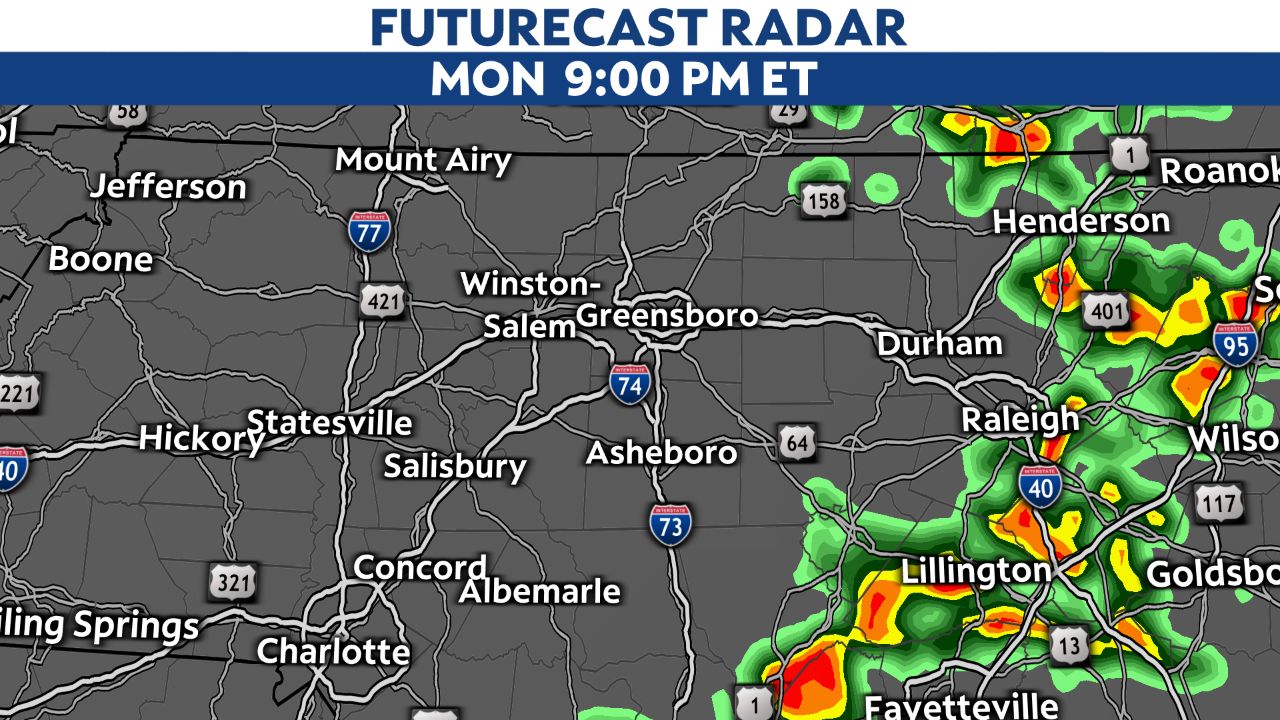
The storms will continue to move to the east and southeast at 30 to 35 mph. Here is a view of what the radar could look like through the afternoon and early evening.
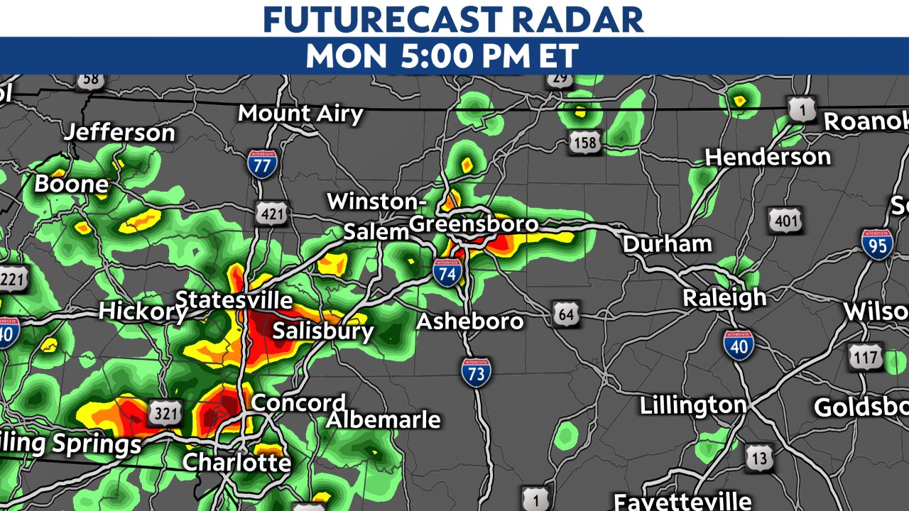
You can check the latest view of radar here.