


Today will be a bit cooler than yesterday, but it's still shaping up to be a nice day for outdoor plans.
The dry and breezy conditions will lead to another increased fire danger all across North Carolina this afternoon. Wind gusts up to 25 mph along with low humidity would allow a fire to spread quickly. A statewide burn ban is in effect until further notice.
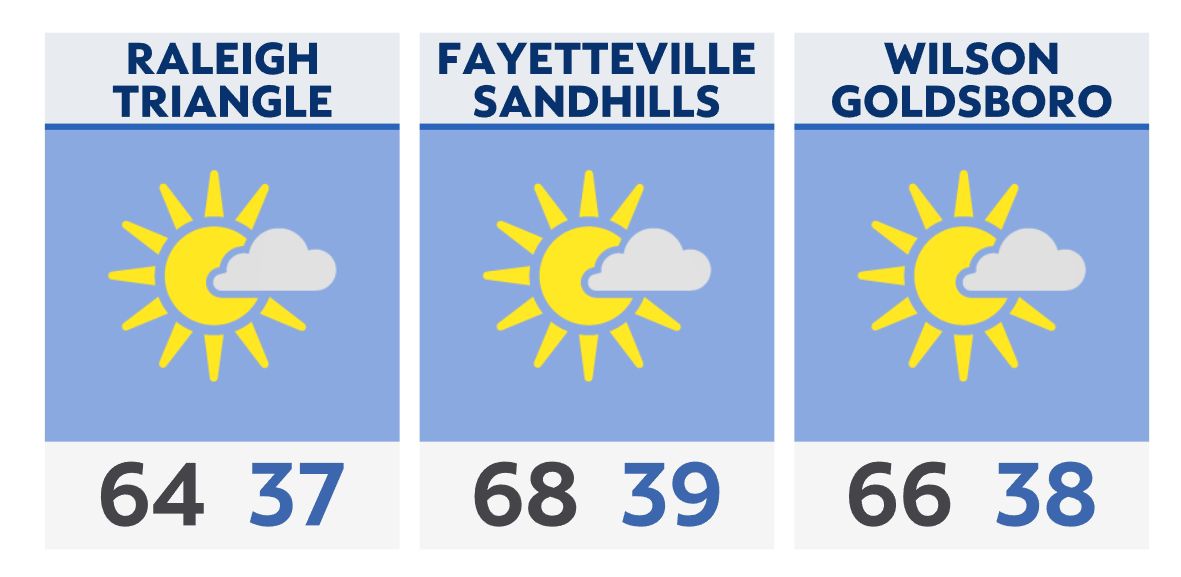
A mostly clear night will lead to a chilly start tomorrow morning. Lows in the 30s will likely make Thursday morning the coolest of the week.
While most areas will stay above freezing, it will still be cold enough for areas away from our larger cities near the Triangle and to the north for a light frost.
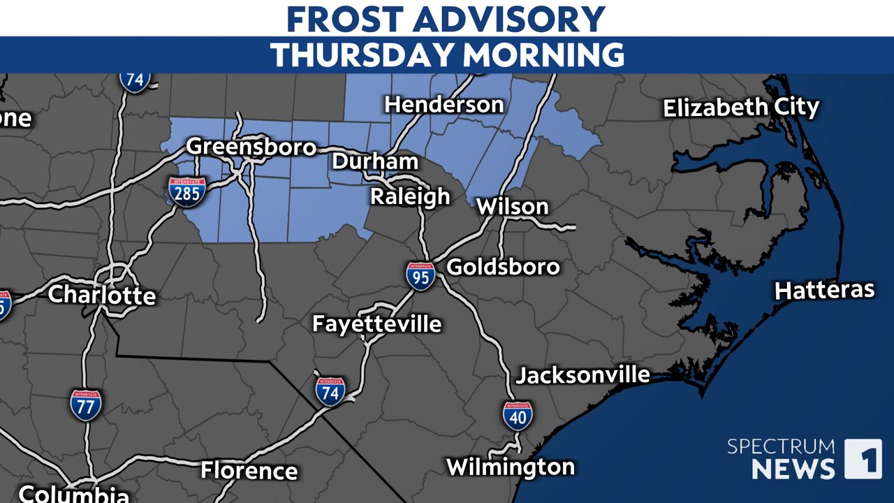
If you're in these areas and have sensitive plants outside, it would be a good idea to bring them inside or to cover them tonight.
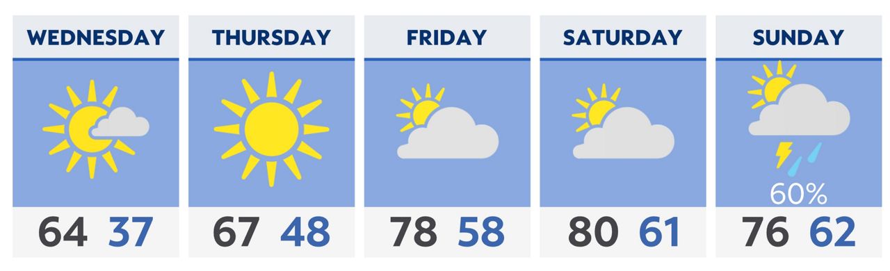
Warmer temperatures are expected by the end of the week and into the weekend.
Our next chance for rain is expected by Sunday and Monday.
Check radar and the latest 7-day forecast | Share your weather photos