After a dry start to our workweek, rain will overtake the state Tuesday. Until then expect cloudy skies tonight as lows fall into the upper 50s to low 60s. Light rain will grow in during the pre-dawn hours Tuesday.
- Interactive Radar
- 7-Day Forecast
- Connect with Meteorologist Vernon Turner on Facebook
- Follow Meteorologist Vernon Turner on Twitter
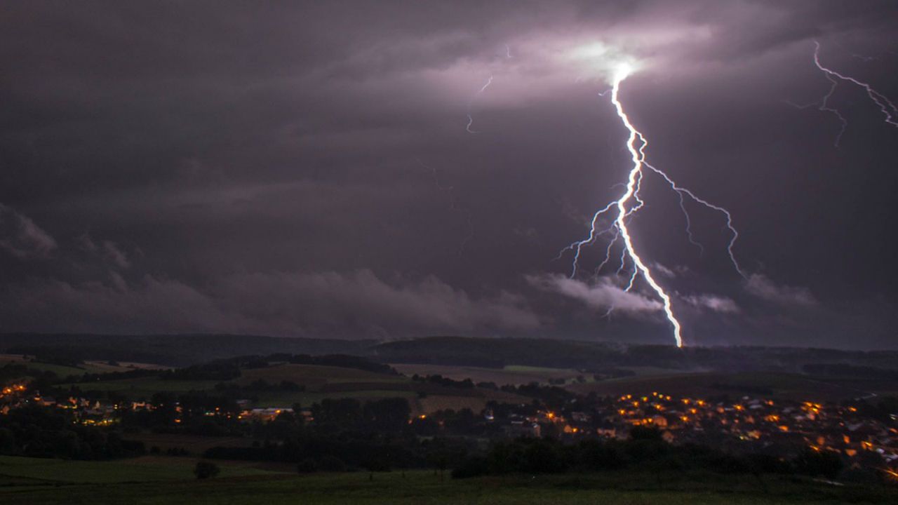
The Tuesday morning commute will look to be a bit of a mess as showers and storms grow in from the west. Expect the most intense rain to move through beginning mid morning and lingering through the early afternoon. The Storm Prediction Center continues to place a marginal (low) threat for severe storms during this time.
If any severe storms do develop the main concerns will be isolated heavy rain, strong/damaging wind gusts and weak isolated tornadoes. The odds are very low thanks to storm fuel (CAPE) being rather low in our area compared to more eastern locations. But even with a low chance, remain weather aware through the day.
A cold front will likely sweep across by the evening hours bringing an end to the rain. Skies will clear behind the front as cool, dry air rushes in. Expect a clear and cool Tuesday night with overnight lows in the 40s.
High pressure will keep our weather dry and sunny Wednesday and Thursday. Another cold front will likely arrive late Friday and cause rain to impact our weekend. This is a big weekend in the Triad due to North Carolina A&T's homecoming. Friday night is looking soggy along with Saturday morning. But rain looks to clear allowing for a drier Saturday evening. We'll be watching this weekend rain threat closely as well and adjust the forecast as needed over the coming days.