


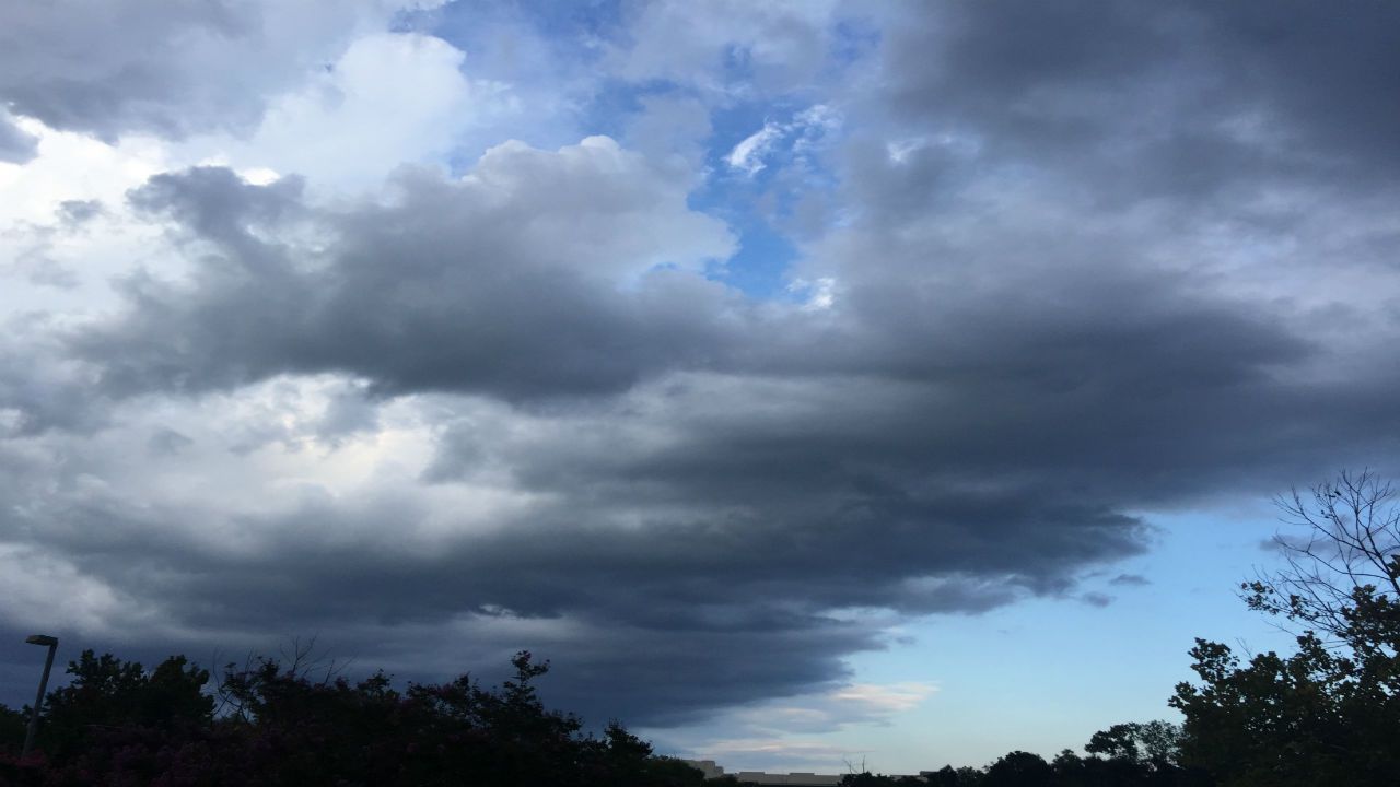
We ended the week with a mix of clouds and sun with warm daytime highs and that's how we're going to begin the weekend across the Triad.
Right now, we're looking at a 50-50 weekend. Saturday will be dry. Sunday will be a little damper.
We will continue to see mostly cloudy skies through the night with mild overnight lows. More clouds are in the Saturday forecast but there will be some sunshine too and that will make for daytime highs mainly in the 70s.
Shower chances will begin to increase by Saturday night as a cold front pushes into North Carolina. That chance for showers and even isolated thundershowers will continue into Sunday afternoon.
With the passage of the front, showers should end and skies will begin to clear by Sunday night.
In the tropics, Olga formed on Friday in the Gulf of Mexico. Some of the moisture from this system will arrive in North Carolina with the cold front on Sunday. Farther out in the Atlantic, Pablo formed on Friday as well. It is no threat to the United States.
Watch Spectrum News for your complete weekend forecast.