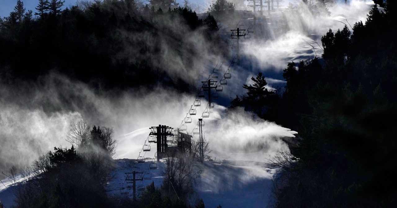
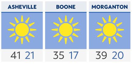
An Arctic area of high pressure has built in allowing for a sunny Martin Luther King Jr. holiday, however, temperatures will be some 20-30 degrees below average for this time of year. It'll feel like the tundra today with highs managing to only get into the low 20s in the Foothills and into the mid-teens in the High Country. Wind chills in the High Country will remain at/or below zero this afternoon.
A Winter Storm is expected to track from the northern Gulf of Mexico to the southeast coast mid-week. However, the recent model data suggests that this system will track further south, which lowers the potential for snow for the western half of the state. But given the northwest flow there could still be some light snow for areas right along the Tennessee border. The higher chance of any measurable snowfall will be east of I-85 and within the Sandhills, Triangle and along the coast.
The main weather headline throughout the rest of the workweek will be the well-below average temperatures that remain in place. However, gradual warming is expected as the weekend approaches.
Check radar and the latest 7-day forecast | Share your weather photos