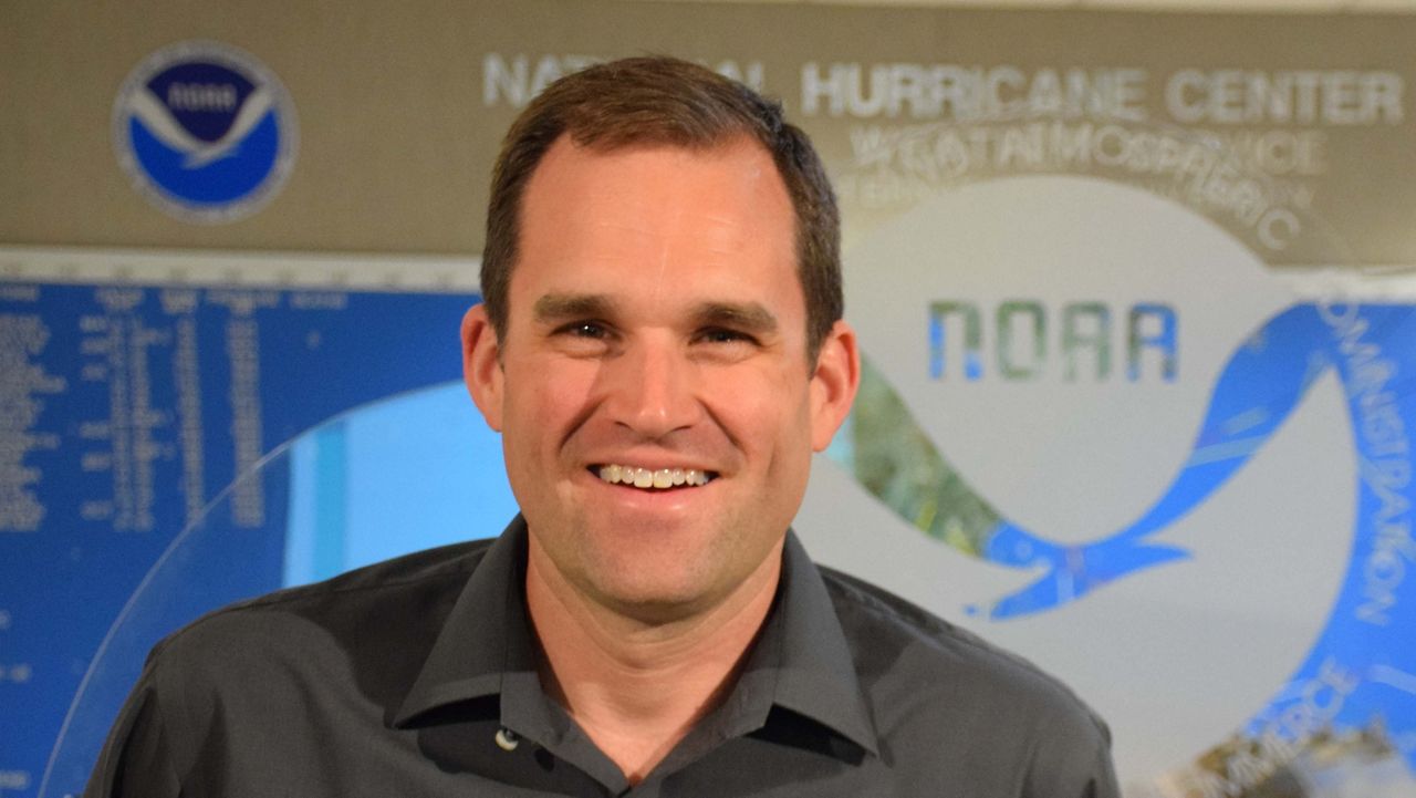
The National Hurricane Center is home to some of the world's leading experts on storm forecasting. They are just outside of Miami, Florida, but several of their forecasters have deep ties to North Carolina.
The director of the National Hurricane Center, Mike Brennan, received his undergraduate and graduate degrees at N.C. State University in Raleigh. He now leads the team of meteorologists that issues forecasts we are used seeing every hurricane season.

Those forecasts include the cone forecast that shows the predicted path for the center of a storm. However, we should not just focus on that part of the forecast. As Brennan points out, “It’s meant to sort of cue you to dig deeper into information about the hazards associated with a hurricane.”
The cone forecast graphic tells very little about the dangers that storm surge and inland flooding may bring to an area, even outside of the cone.
Here in North Carolina, we should also pay close attention to storms that don’t make a direct landfall on the state.
“Some of the biggest impacts, especially in inland parts of North Carolina, come from storms that make landfall along the Gulf Coast or might come across Florida and into the Gulf of Mexico,” Brennan said.
To make the forecasts for all the impacts a storm can bring, meteorologists rely on many types of weather data.
Satellites provide a lot of information on the location and size of a storm, but having data from inside the storm is crucial for an accurate prediction of the strength of a storm and exactly where it may go. To get that critical data, U.S. Air Force hurricane hunter aircraft fly directly into storms.

Another N.C. State graduate and National Hurricane Center meteorologist Robbie Berg explained: “We think of it like when you’re grilling a steak. You can see the grill marks. You might have a sense for how well done the steak is. You need to really insert that temperature probe to really get a good idea. That’s what these planes do.”
With so much information available, it’s also important to have a reliable and responsible source for hurricane forecasts.
“Find your trusted sources, whether it’s us at the hurricane center, the rest of the National Weather Service, you guys — your favorite local TV station. There’s a lot of noise out there on social media,” Berg said.
At Spectrum News 1, we’re committed to being the “calm in the storm” this hurricane season. If a storm threatens this year, we’ll use forecasts and data from the National Hurricane Center to provide detailed information on all the impacts a storm may bring to our communities.
Our team of meteorologists dives deep into the science of weather and breaks down timely weather data and information. To view more weather and climate stories, check out our weather blogs section.


