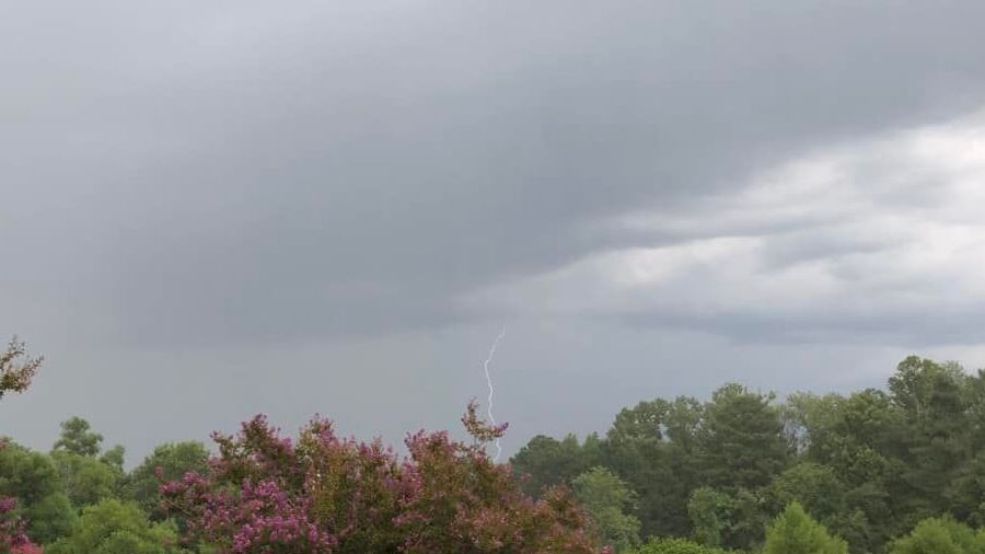
An approaching front will work with the sea breezes on Thursday to create another round of rain and rumbles, and a few storms could become strong. Before any showers develop, highs climb into the lower 90s.
A mix of morning sun and clouds will give way to scattered showers and storms again on Friday. Because of the proximity of the front to central Florida, storms could pack a punch. Highs are forecasted to be slightly above average in the lower 90s.
The front slips by us and brings with it slightly cooler air for Saturday. Rain coverage remains elevated the first half of our weekend, but drier air filters south on Sunday. We'll enjoy a mostly sunny sky, an isolated afternoon shower or storm, and highs in the upper 80s.
 |
Highs: Lower 90s Lows: Lower 70s Rain Coverage: 50% |
Check your hour-by-hour forecast here | Share your weather photos