


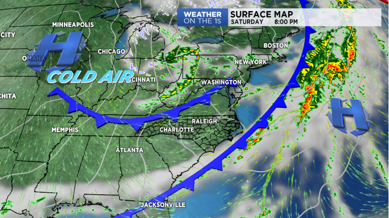
A cold front moving in Saturday will bring a round of spotty showers to the area followed by yet another shot of cool, dry air. This round, in fact, should be even cooler than the one we had move in earlier this week, leading to the coldest morning we've seen since mid-April Monday.
Friday will be a tad warmer than Thursday with highs reaching into the upper 60s to low 70s along the coast under mainly sunny skies. We'll see a bit more cloud cover for Wilmington and our southern coast, especially by Friday evening, as a disturbance begins forming ahead of the aforementioned cold front. The chance for showers and a few embedded thunderstorms will increase late tonight into early tomorrow morning from south to north. A brief lull in activity is expected Saturday before another round of showers moves in Saturday afternoon and evening along with the actual cold front. Behind the front, winds will pick up late Saturday night into Sunday as temperatures begin cooling
Sunday will be a cool and windy day, as many should only manage to reach into the upper 50s to low 60s for highs along the coast -- a good 10 degrees or so below average! Monday is set to feature the coldest morning we've seen since mid April as temperatures plummet into the upper 30s to low 40s. We could even be dealing with some patchy frost for areas farther inland.