CARY, N.C. — Flooding is a big issue near North Carolina waterways and is often very destructive. The Town of Cary recently partnered with SAS and Microsoft to create a flood monitoring and prediction model.
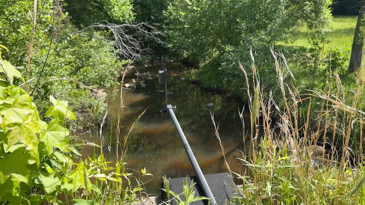
The system uses sensors to measure water levels in creeks.
What You Need To Know
- Flooding can be a frequent and expensive natural disaster in North Carolina
- The Town of Cary, SAS and Microsoft partnered to create new flood predicting technology
- Sensors installed in creeks measure water levels
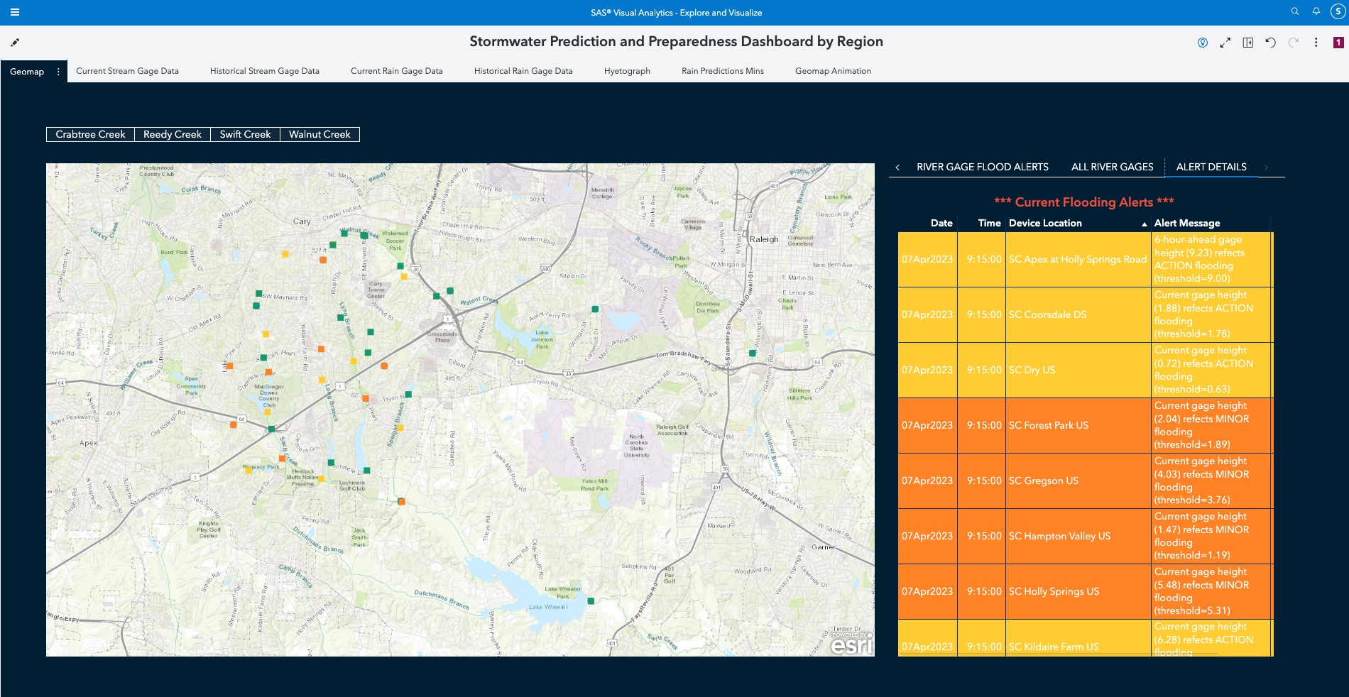
- Computer programs create flooding predictions based on past data and weather forecasts
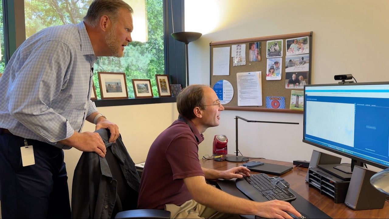
Brandon Kooman has been working at SAS for the past 10 years. He works in the Internet of Things division, which focuses on new technology that has sensors and software to collect data.

This project is helping predict stormwater flooding, which Kooman says is one of the most frequent and expensive natural disasters in our state.
“We’re seeing as climate change changes, those models are no longer as accurate as they used to be,” Kooman said. “And so cities have to actually put in more resilient infrastructure to help support it.”
That’s one reason why this new technology and infrastructure is so important.
“It provides real time situational awareness,” Kooman said. “That’s probably the biggest thing. You could then take any type of information we get off of this and do some public safety or just notification to the citizens or emergency personnel to deploy.”

There’s a lot of hurdles the organizations went through to get to the point they are now. Kooman’s co-worker, Steven Enck, helps with the prediction and analytic side of the program.
“If you just have a sensor, you can see what’s happening now,” Enck said. “But with the analytics in place, you can see what is going to happen or what’s likely to happen.”
In Cary, some of the monitored creeks start as a little indent in someone’s backyard. Crews currently have about 70 sensors spread out across the town. To predict where flooding is going to happen, Enck and Kooman have to rely on past and future data and weather forecasts.
They added that the technology installed in Cary also helps communities positioned downstream. It could take minutes, hours or days, but floodwater will eventually flow out of the creeks and make its way through rivers all the way to the coast.
“I want to be proactive about things,” Enck said. “It’s one thing to know that it has flooded, but that’s not really helpful to citizens until your emergency. If you could have known [it] was going to happen, then you could actually move people around or close roads or, you know, make sure people stay safe. That would be key.”


