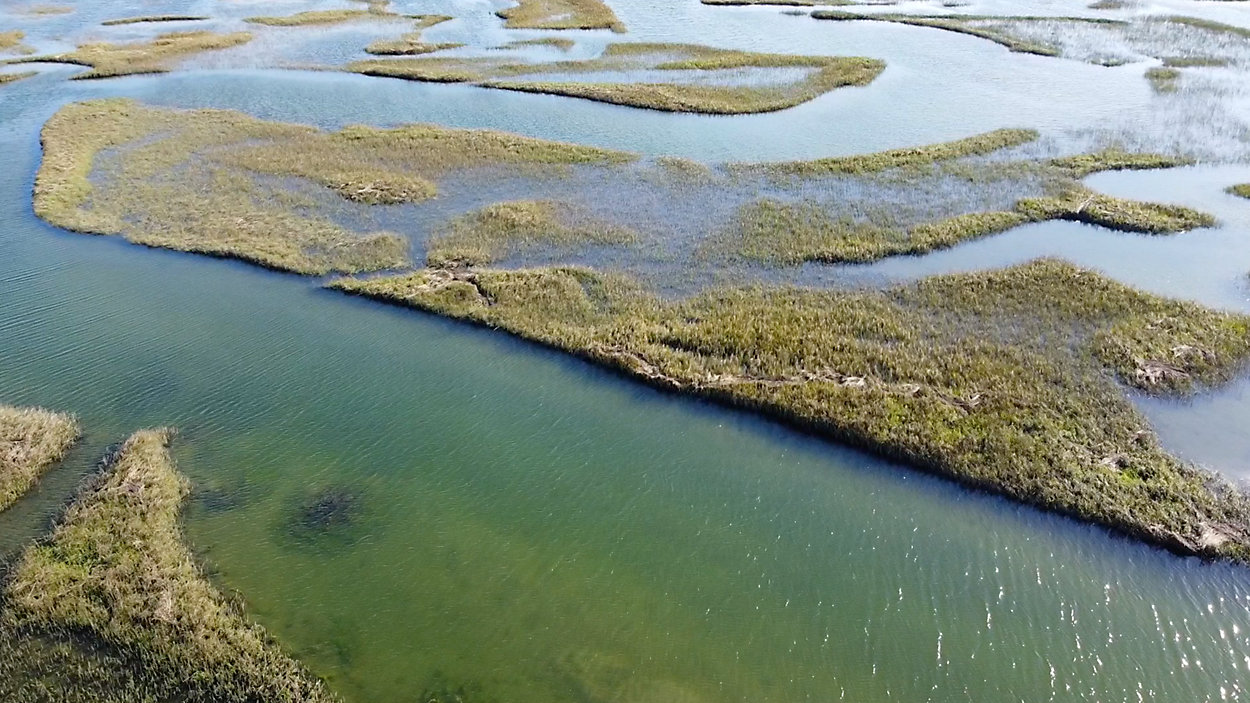
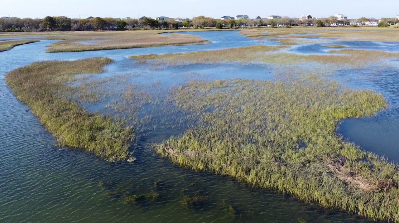
WILMINGTON, N.C. — Not only do salt marshes provide habitat for wildlife, they act as a natural barrier to erosion, but rising sea levels coupled with increasing development have the potential to wipe them out completely. A team of geographers from UNC Wilmington is working to map the marshes and predict their chances of survival.
Salt marshes can be easily overlooked, but they are essential to the coastal ecosystem
Rising sea levels and rapid development are causing salt marshes to disappear, leaving barrier islands and the mainland exposed to erosion
Geographers out of UNCW are mapping the current marshes and trends in their changes over time
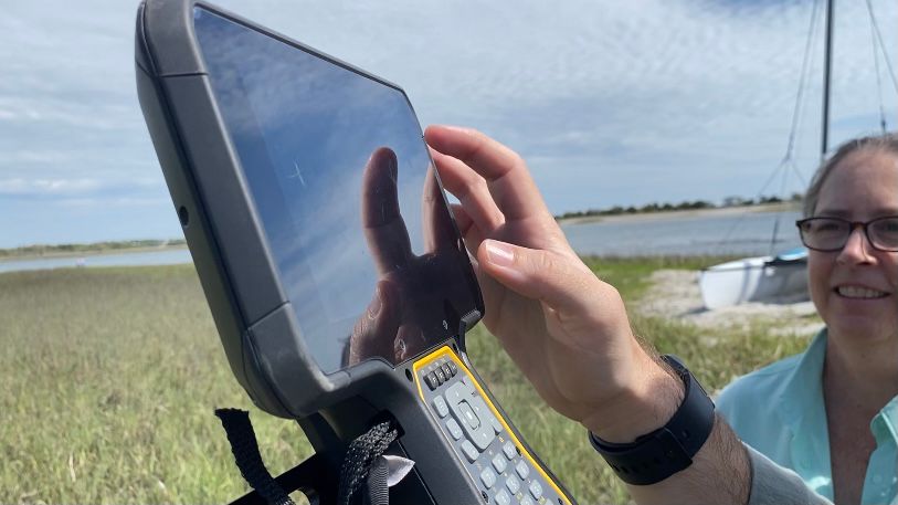
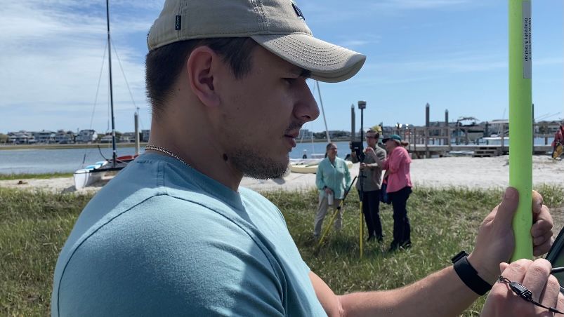
Dr. Joanne Halls is combining geography and geology as she and her team of students work to map the remaining marshes of our coastal counties.
“Marshes are super important for the general environment of this whole region, because they're a barrier that protects us during a storm event, and they also are a nursery habitat for a huge variety of species,” Halls said. “Without these marshes during a storm event the water would just run right in and wipe out everything.”
Geomorphology is the study of how landscapes move through space and time. Halls personally fell in love with shoreline protection after working for a company that produces atlases of the coast.
“Geography in general isn't something that just rolls off the tongue and people are accustomed to what geographers do. They think 'Oh, it's Jeopardy, it's places and people,'” Halls said. “They use maps to help tell that story between people, places and the physical environment.”
She publishes the majority of their models online to help the community better understand the importance of marshes. Better known as geographic information systems, these models demonstrate the flood risks for our coastal counties along with simulated changes in wetland areas.
Their models show that the marshes have adjusted in the past and will continue to if we give them ample space, but she says development poses the biggest threat to their ability to adapt.
“If we keep building at the rate we're building, right up along those creeks, the marshes have nowhere to go, they can't migrate backward as sea level rises,” Halls said.
The GPS data Halls collects in the field enables her students and her to accurately predict future changes based on ones in the past.
“Deep learning allows us to pull in multiple dates, many dates of data, analyze those dates and predict the future,” Halls said.
You can head to their website for a more in depth look at their research.
_Cropped)