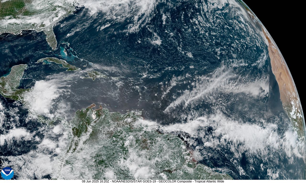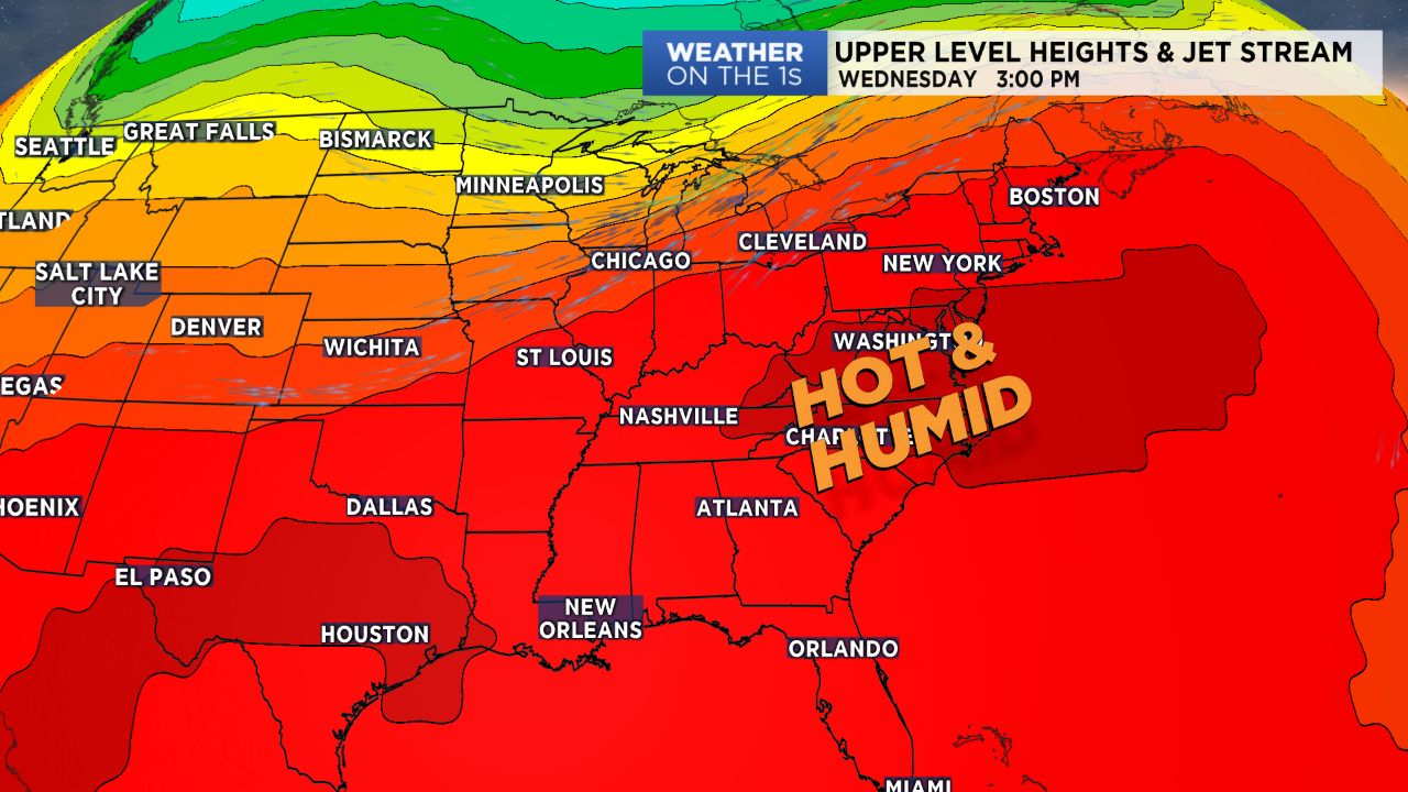
CHARLOTTE, N.C. -- A hot and humid weather pattern will persist for the next several days, leading to above average temperatures, muggy conditions, and minimal chances for showers and storms.
- Hot and humid wather pattern will persist the next several days.
- There will be minimal chances for showers and storms.
- Temperatures will be above average.
Here we go again, central North Carolina! Gear up for yet another afternoon in the 90s for many. Like Monday look for a good deal of sunshine with some cumulus clouds building in by this afternoon. Also like Monday, most shower/storm activity will remain confined to the High Country, but an isolated shower cannot be ruled out by this afternoon across the Piedmont. Lows will be mild, in the 60s to low/mid 70s.
The same hot weather will continue into Wednesday, Thursday, and Friday, but will feature a gradual increase in storm chances. A cold front will approach from the northwest and settle across the area over the holiday weekend. With this setup, we'll still keep the high humidity but add chances for scattered afternoon storms to the mix. Labor Day weekend won't be a washout, but we'll be dealing with hit-and-miss storms each afternoon. Highs will cool slightly into the upper 80s thanks to the additional cloud cover.