


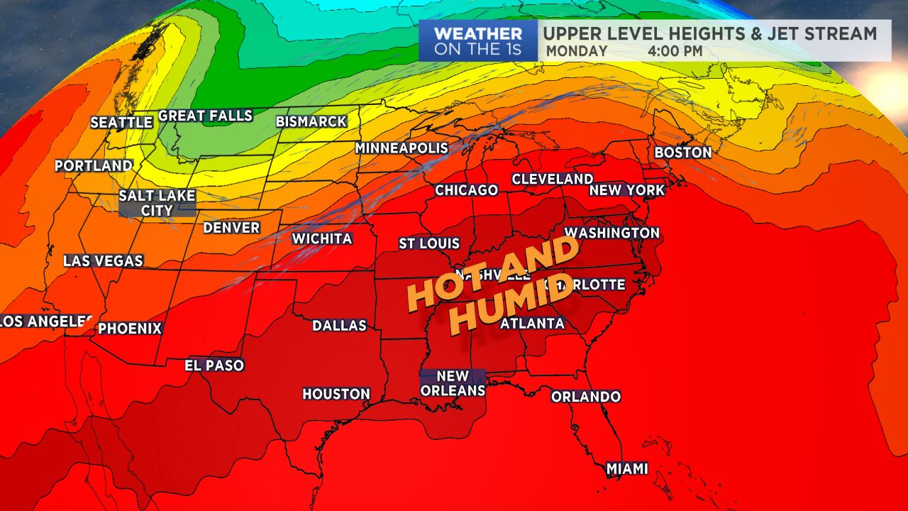
CHARLOTTE, N.C. -- After a brief break from heat and humidity late last week, we are back in full force with typical summer weather conditions. Expect heat, humidity and minimal chances for showers and storms to persist over the next several days.
- Heat and humidity have returned.
- There will be minimal chances for showers and storms.
- The upcoming Labor Day weekend will be hot and humid.
As kids head back to school across North Carolina Monday, Mother Nature will remind us that the summer season isn't over quite yet. Temperatures will warm up quickly today under mostly sunny skies into the upper 80s and low 90s. With dewpoints back in the low 70s, heat index values will climb into the mid 90s during the afternoon. If the kids have after school sports practices, make sure they have plenty of water at hand! A few isolated showers and storms will be possible in the mountains.
Tuesday through the end of the work week will feature similar conditions. Highs will remain above average in the upper 80s to low 90s with muggy overnight lows in the 70s. Storms will mainly remained confined to the High Country with a gradual increase in storm chances for the Piedmont by the end of the week.
So far, Labor Day weekend is looking hot and humid with a chance for afternoon scattered storms. Stay tuned!
Get the latest news, sports and weather delivered straight to your inbox. Click here to sign up for email and text alerts.