


Late this week, both Charlotte and Greensboro had record-tying heat as temperatures soared into the 90s Wednesday and Thursday afternoon. With the passage of a cold front Thursday evening, a much cooler airmass will begin settling in for the weekend.
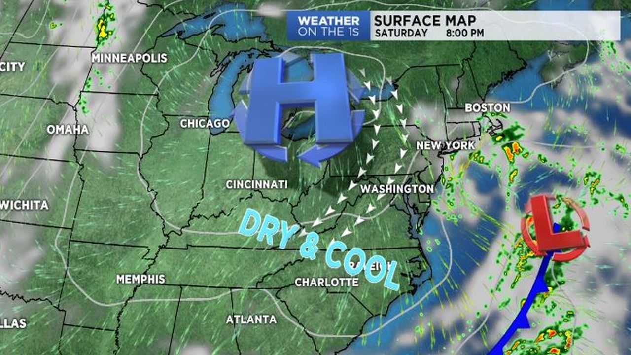
Friday will bring just near to slightly above average temperatures, which will still, albeit, be a large cool down from Thursday's recorded highs. With a reinforcing cold front pulling through the Carolinas Friday night, increasingly dry and cooler air will move in for the weekend. By Sunday, temperatures will even be a few degrees below average, with daytime highs only expected to top off in the low to mid 70s across the Piedmont and Triad.
A strong ridge of high pressure will continue to build through next week, limiting chances for any rainfall and causing temperatures to gradually warm.