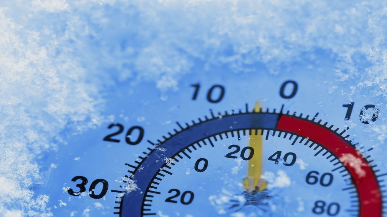
With this ongoing, and in some instances, historic, blast of arctic air, snow, and ice ongoing in parts of the country, I thought now would be a good time to discuss the nature of arctic air.
First of all, think of a blast of arctic air as being akin to pouring out a bag of sand. As the arctic airmass spreads out, it gets thinner and thinner around the edges. In other words, the depth of the arctic air gets shallow the further away from the center you get.
Arctic air is very dense, and it can really settle in for the lowest levels of the atmosphere and be very difficult to dislodge.
Take, for instance, what has been happening early this week along the Gulf Coast and lower Mississippi River valley. That shallow, very cold arctic air has made it all of the way to the Gulf of Mexico. In many instances, it's only a few thousand feet thick.
Due to that arctic air being dense and tough to dislodge, it can hold firm while the air above that shallow layer of cold air warms. This scenario is what has created the ice storm that's been ongoing in much of the Gulf Coast, Tennessee Valley, and the lower Mississippi Valley. The precipitation is in the form of liquid until it hits that sub-freezing air just above the Earth's surface.

The shallow nature of that arctic air is also the reason we haven't gotten into the true arctic air here in the Carolinas.
As I mentioned, around the fringes, that arctic airmass is only a few thousand feet thick. With an airmass that's centered in the Plains, there's a big road block that prevents that arctic air from seeping into the Carolinas: the mountains.
This is the reason the Carolinas have had repetitive rounds of cold rain with ice confined to areas close to the Virginia border and points north.
Alternatively, the shallow nature of arctic air is also the reason that the Carolinas get ice and snow from cold air damming events when the arctic air is centered in the 'right' location. In the current scenario, the center of that arctic air is over the Plains, so the mountains keep that air shunted in a southward trajectory, west of the mountains.
However, when the center of an arctic airmass is over the northeast U.S., that shallow cold air gets wedged southward on the east side of the mountains, with the mountains preventing the arctic air from spilling westward to the Tennessee Valley.
One other factor to consider is the source region of the arctic airmass. Not all airmasses are created equally.
In the current scenario, the arctic airmass has its origins in Siberia. The orientation of the upper level weather pattern has allowed that Siberian air to get dislodged and pushed deep down into North America. This setup is allowing for incredibly impressive levels of cold across the South, both in terms of temperatures as well as in terms of the longevity of the cold.
There have also been multiple storm systems that have put down a good deal of snow across the lower 48. This has allowed that air to remain very well-refrigerated as it has made its move southward.