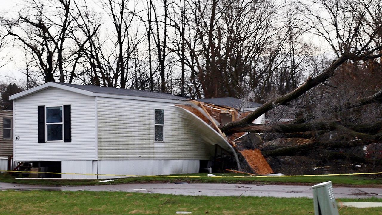
Severe weather is most prevalent during the spring months in Missouri. With nearly 40% of all tornadoes in the state, occurring during April and May.
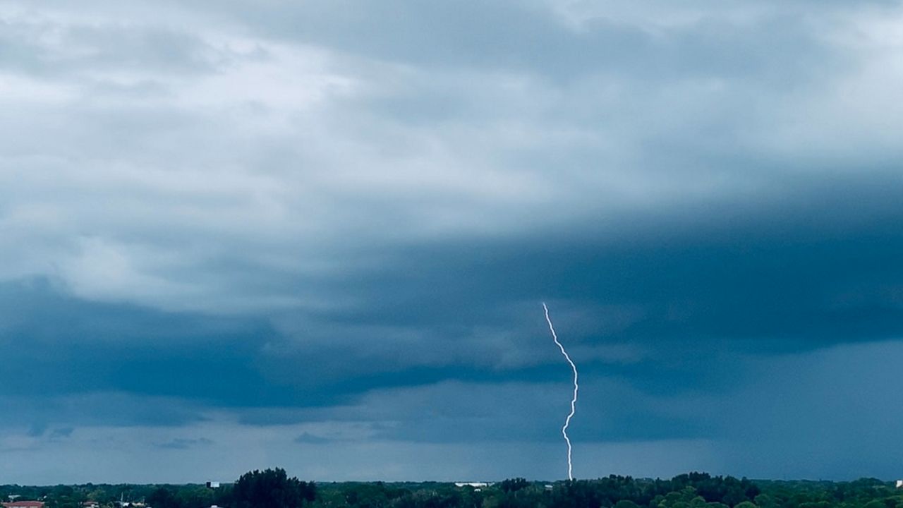
Another round of severe weather is possible for both the St. Louis and Kansas City metros today.
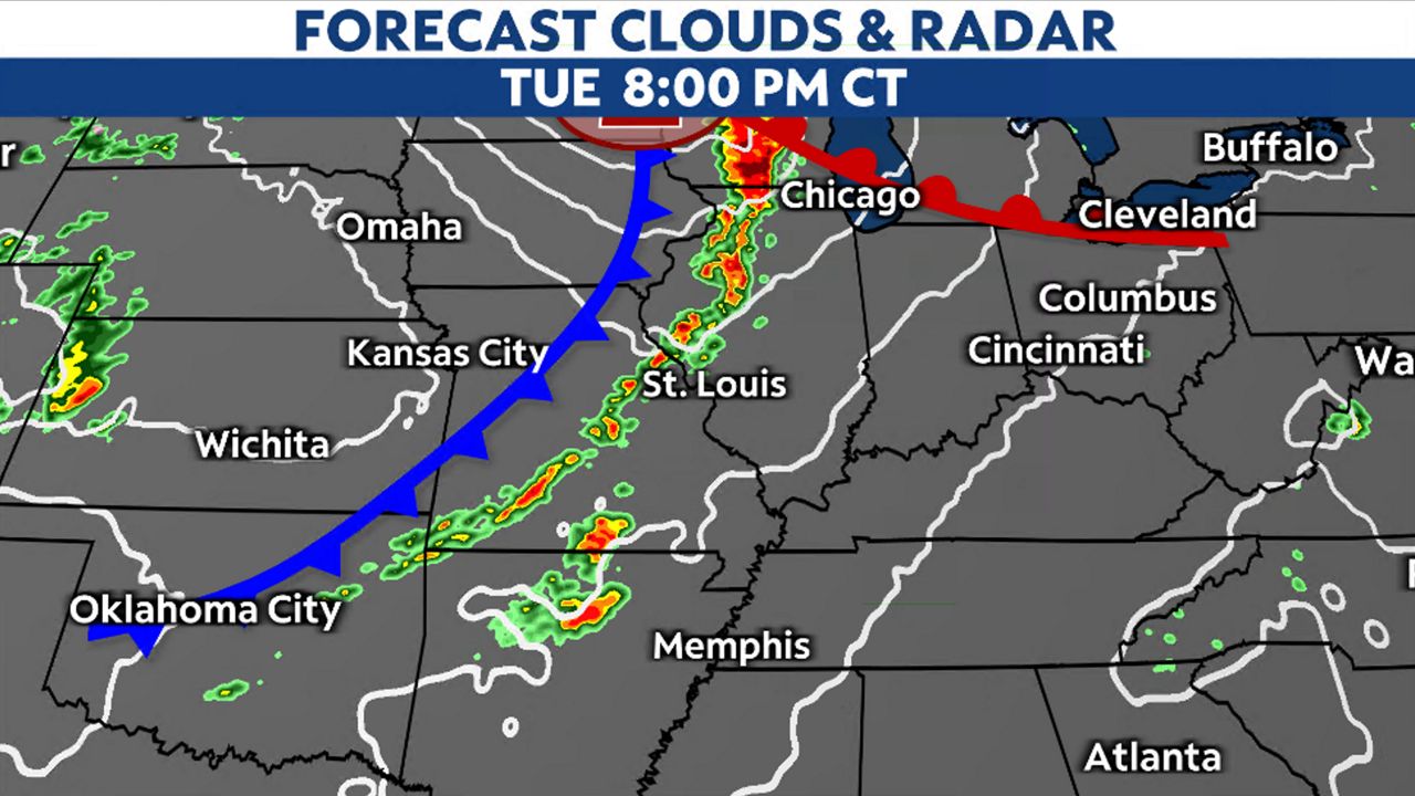
A potent cold front will advance eastward during the day on Tuesday. Ahead of the front, storms will develop, tapping into instability.
These storms, which have the potential to become severe, will hold together and move eastward throughout the afternoon and evening, eventually merging into a line.
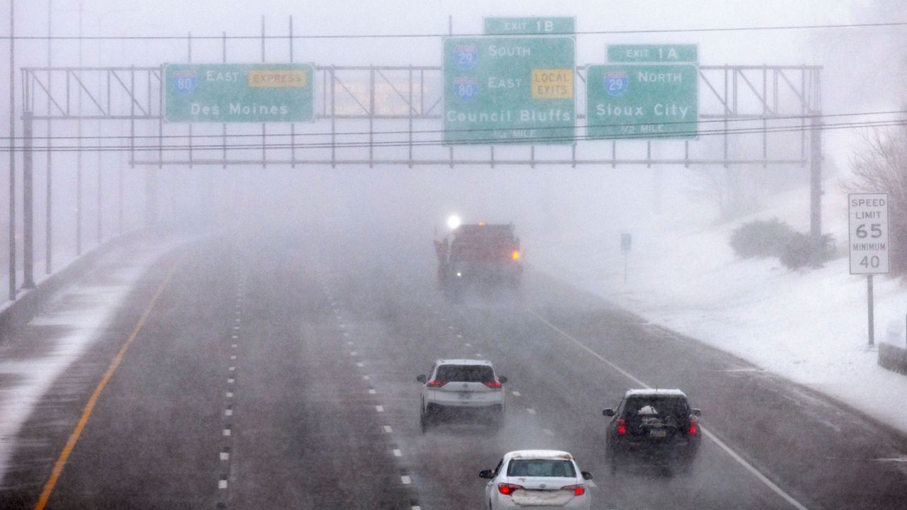
The Kansas City metro area is under a Tornado Watch until 10 p.m. Storms could produce large hail, damaging winds and strong tornadoes. Make sure your weather notiications are enabled.
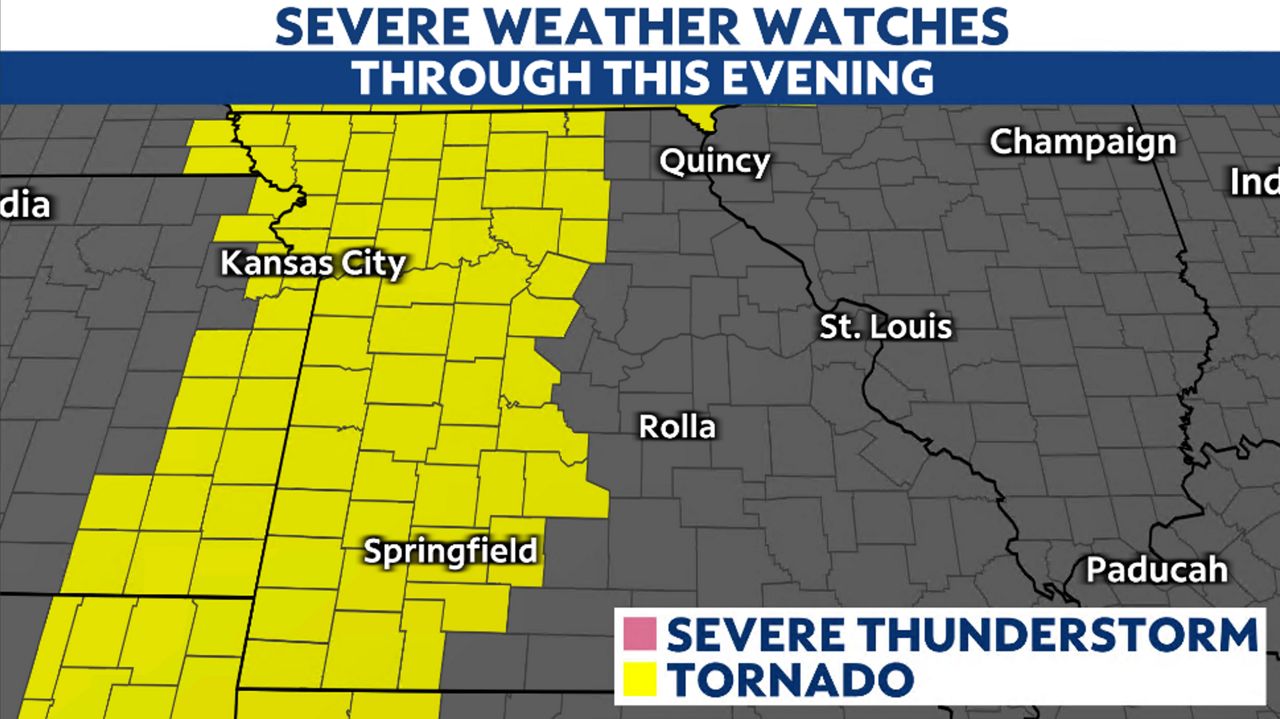
St. Louis has a level 2/5 severe threat. As the storms move eastward across the state, they will converge into a line and become QLCS-type storms. These storms have a higher risk for damaging winds and quick spin-up lower end (EF0 to EF1) tornado threat.
However, if the line doesn’t merge and becomes broken, the hail threat will increase. St. Louis region should be prepared for large hail, damaging winds and tornadoes.
Kansas City will see the storms develop late afternoon, with the times to be on guard from 3 p.m. to 6 p.m.
.gif)
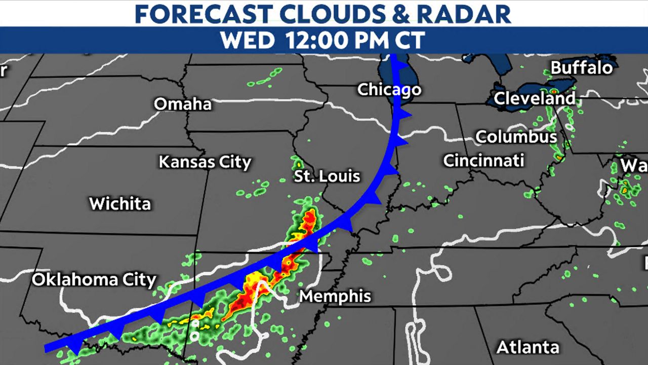
St. Louis will be dry during daylight hours. The timing looks to be during the late evening hours, 7 p.m. to 12 a.m. Here's how to enable your weather notifications.
.gif)
The severe storms will move to our southeast overnight into early Wednesday. The front will lag just to our west and then stall somewhere close to St. Louis. Although no severe storms are expected in St. Louis on Wednesday, can’t rule out a strong storm with some leftover instability from the front during the afternoon.
Cooler air will move into place with highs returning to the mid-70s for both Kansas City and St. Louis on Wednesday. Non-severe storm chances will be possible through the rest of the workweek.
Our team of meteorologists dives deep into the science of weather and breaks down timely weather data and information. To view more weather and climate stories, check out our weather blogs section.