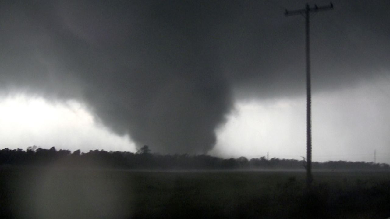
Springtime tornadoes are nothing new for residents of the "Show-Me" state. It’s common as most cities and towns have tornado sirens, and school children perform tornado drills. But is this year seeing an abnormally high count of twisters?
In recent weeks, top stories have featured violent weather with tornadoes, damaging winds, large hail and flooding that injured people and infrastructures, and even caused fatalities.
April 26 through May 9 was an active period for severe weather in Missouri. The state had 41 tornado reports during this stretch.
How do these values compare to the average? Are we seeing more tornadoes than we used to or is this just par for the course at this time of the year?
Missouri State Climatologist Zack Leasor says that a tornado can occur every month of the year, but there is an increase in activity during certain months.
“April and May account for around 40% of total tornadoes in the state,” he said.
As for the types of storms that produce tornadoes, "supercell thunderstorms and Quasi-Linear Convective Systems (QLCS) are the two primary types of storms that produce tornadoes," explains Meteorologist Alex Elmore with the National Weather Service (NWS) in St. Louis.
"Supercells typically produce strong (EF2 or greater) to violent (EF4 or greater) tornadoes," he said.
The QLCS storms are responsible for the lower end tornadoes, the EF0 to EF1.
The state's most violent twister occurred during May. Joplin, Missouri’s EF5 tornado decimated the city and killed more than 150 people on May 22, 2011.
The tornado archives began in 1950, with averages compiled from 1991 to 2020. According to Leasor, the state averages 32 tornadoes per year.
However, Jared Maples, a meteorologist with the National Weather Service in St. Louis, says that some years are more active than others.
“Two years that stood out in the data were 2006, the most active with 75 tornadoes, and 2011 with 47 tornadoes,” he said.
Through May 16, there have been 61 preliminary tornado reports in Missouri submitted to the Storm Prediction Center.
Preliminary tornado reports are not the same as actual tornadoes.
“In realtime, the National Weather Service collects what are called preliminary local storm reports. For tornadoes, these can be thought of as eyewitness reports of the tornado,” explains Matthew Elliot, warning coordination meteorologist at the Storm Prediction Center.
Reports such as damage or video of a tornado are documented, showing the location of the damage and tornado. Each report will count as one tornado preliminary report.
However, Elliot mentioned that sometimes there may be multiple reports of the same tornado, especially longer-track ones, leading to overestimated tornado counts.
“Some preliminary reports end up not being tornadic after a ground survey has been completed while others are surveyed and entered into the official database, but never have a preliminary local storm report issued,” he said, noting that's rare, but it does happen.
When information is relayed to the local National Weather Service offices about storm damage or tornadoes, NWS teams will complete a ground survey to verify these results, usually the following day. Meteorologist Alex Elmore with NWS in St. Louis explains the process of the storm survey teams.
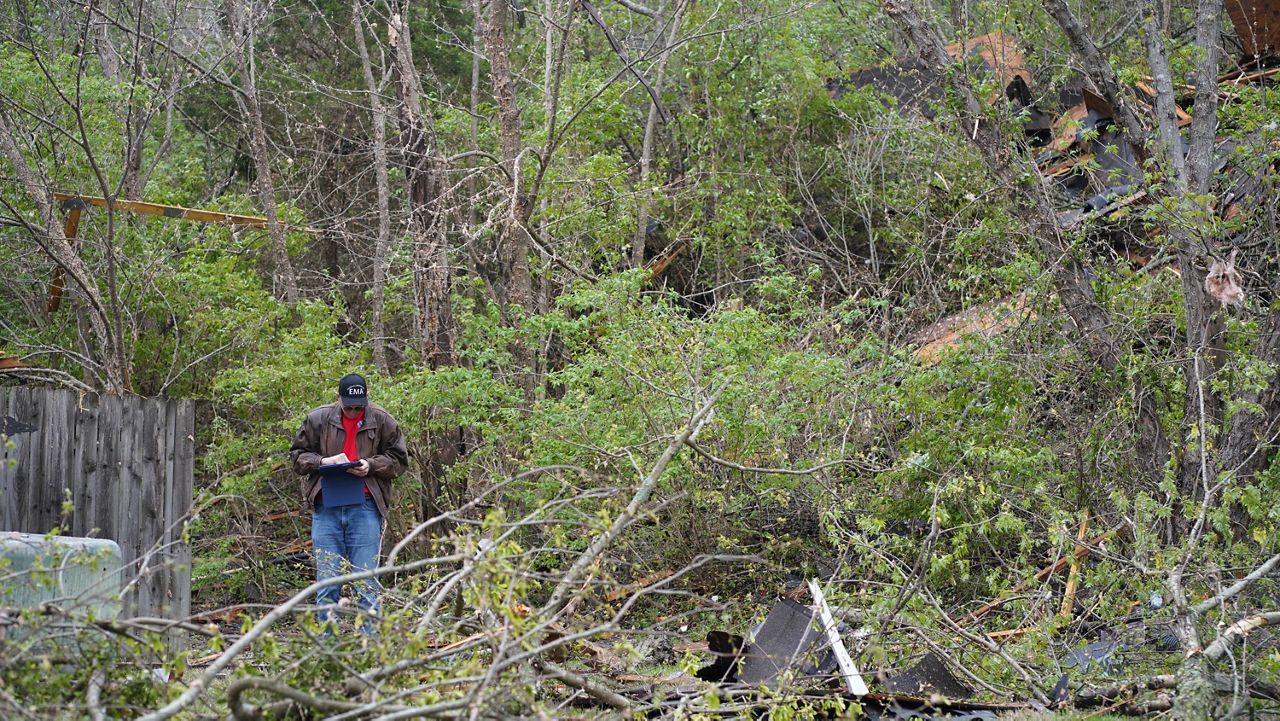
“When storm damage occurs and we suspect it was possibly caused by a tornado or very strong straight-line winds, we will head first toward the location of the worst known damage,” he said.
The max wind speed can be estimated based on damage indicators, including trees, houses, out buildings, and the degree of damage such as missing shingles, partial collapse of the building, tree uprooted, etc., according to Elmore.
"If the damage was produced by a tornado, assign it a rating on the Enhanced Fujita (EF) scale based on the wind speed," he said.
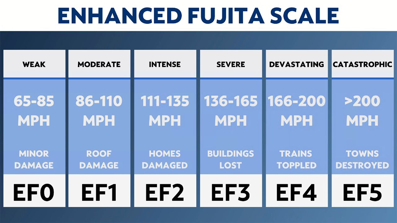
Sometimes the damage from a storm is not from a tornado, but straight-line winds. Damage from straight-line winds will all be laying in the same direction, whereas tornado damage will comprise more circular damage.
They continue this process across the swath of damage until no more damage can be found. Elmore says surveys for a single track can take several hours or upwards of an entire day, depending on the track path and degree of damage.
This process can be lengthy and take several months. Once investigations have been completed, the SPC publishes the final count.
“Historically, for every 100 preliminary tornado reports, at least 65 tornadoes are confirmed,” according to the SPC.
Tornado counts usually peak from March to June and then taper into the summer. The reason is because of the jet stream.
"One of the ingredients needed for thunderstorms to produce tornadoes is strong wind shear, and this is in part provided by the jet stream," Elmore says.
"During the summer, the jet stream shifts northward toward the U.S.-Canadian border, reducing the amount of wind shear we see locally during severe weather, which reduces the chance for tornadoes."
We may see more thunderstorms during the summer, but without wind shear, storms that become severe are more likely to produce hail and damaging winds.
Our team of meteorologists dives deep into the science of weather and breaks down timely weather data and information. To view more weather and climate stories, check out our weather blogs section.


