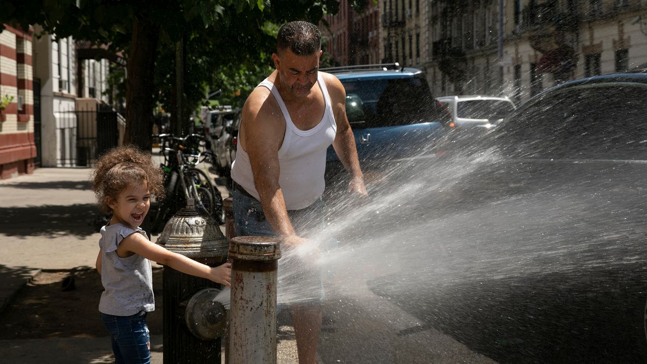
It’s the dog days of summer, climatologically the warmest time of the year, and St. Louis is right on schedule.
While not record-breaking heat, the region continues to face the hottest temperatures of the year.
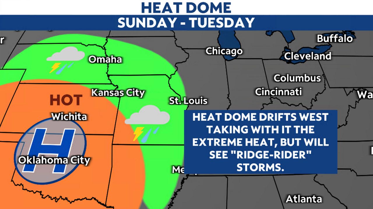
The southwest part of the country has seen extreme temperatures for much of July thanks to a large dome of high pressure, or ridge. This heat dome has drifted east in recent days, nudging into the Plains and Midwest.
South and southwesterly winds will stream this hot weather from the south into our region and drive temperatures up, well above average. Factor in some humidity and it will feel 5 to 10 degrees hotter outside.
Because of this extreme heat, an Excessive Heat Warning is in effect until Saturday evening. Reduce time spent outdoors and stay hydrated.
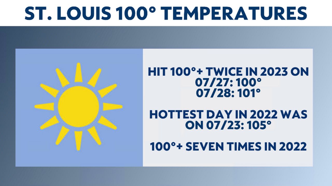
Climatologically, it’s the hottest time of the year, and St. Louis broke 100 degrees on Thursday, July 27, for the first time of the year and reached 101 degrees on Friday, July 28.
St. Louis averages around seven 100-degree days. Last year, we had seven days of 100-degree heat, with July 23 seeing a high of 105 degrees.
Some models attempt to shift the ridge further west and drag a cold front through the region on Saturday. This will bring a chance of rain and storms during the day on Saturday and drop temperatures a few degrees on Sunday.
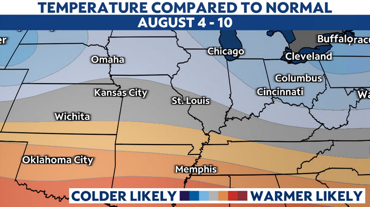
Temperatures will return to average readings by the end of the weekend into next week.
The models do keep the ridge to our west during the first half of next week. However, due to this outer periphery, it will mean storm chances each day.
Temperatures look to be close to average by the beginning of August.
Our team of meteorologists dives deep into the science of weather and breaks down timely weather data and information. To view more weather and climate stories, check out our weather blogs section.


