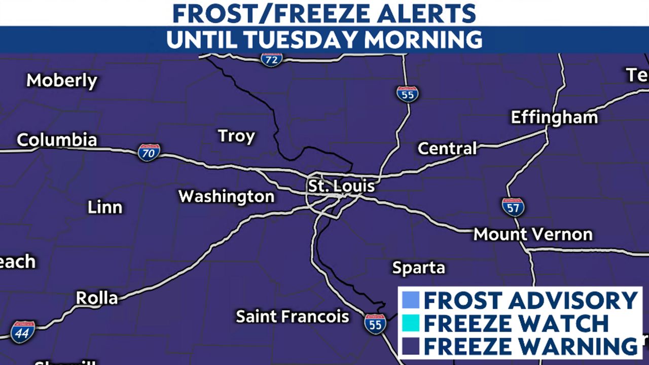
Cold Canadian air has filtered into the region and looks to stick around, at least for the first part of the workweek. This will bring our first below-freezing temperatures of the season overnight on Monday into Tuesday morning.
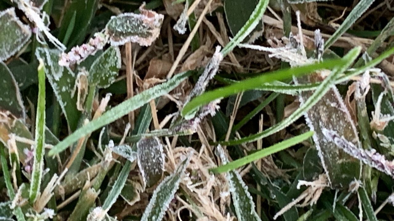
A Freeze Warning goes into effect tonight through Tuesday morning, where subfreezing temperatures are forecast for much of the region. Expect widespread frost and freeze conditions overnight, which could kill crops and sensitive vegetation. It could also impact unprotected outdoor plumbing.
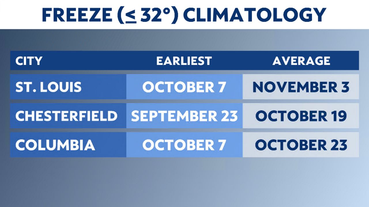
St. Louis' first freeze averages around the beginning of November, but it has occurred in early October in the past.
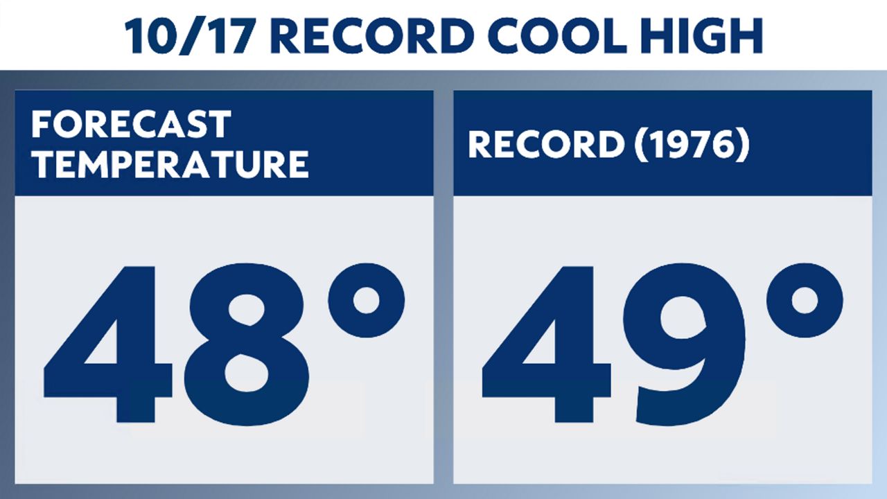
Despite plenty of sunshine, highs will struggle to get out of the 40s on Monday, making it the coldest day we've seen since April! Temperatures could push record levels for low maxima on both Monday and Tuesday.
Conditions will continue to stay on the cooler side of average on Wednesday, with highs still only reaching into the lower to mid-50s at best.
High pressure building in south and west of the region will help steer warmer air back into the region by the end of the workweek. As a result, we'll see temperatures climb back into the mid-60s on Thursday and mid-70s by Friday.
We could be pushing 80 degrees by the weekend. More importantly, the overnight lows will climb back into the 50s and even 60s. No rain is expected through the workweek or over the weekend.