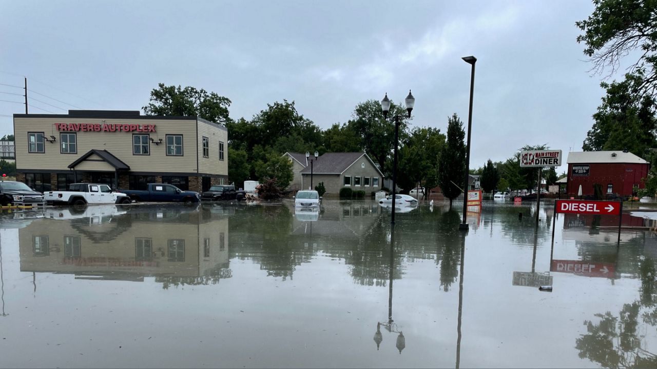
The St. Louis area is still recovering from two separate flash flooding events that occurred last week. With more rain in the forecast today and tonight, additional flooding is a concern.
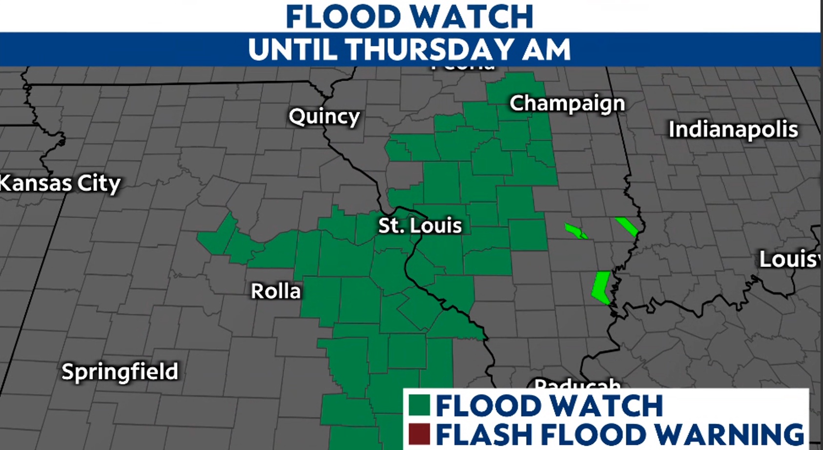
A Flood Watch is in effect beginning tonight until 4 a.m. Thursday.
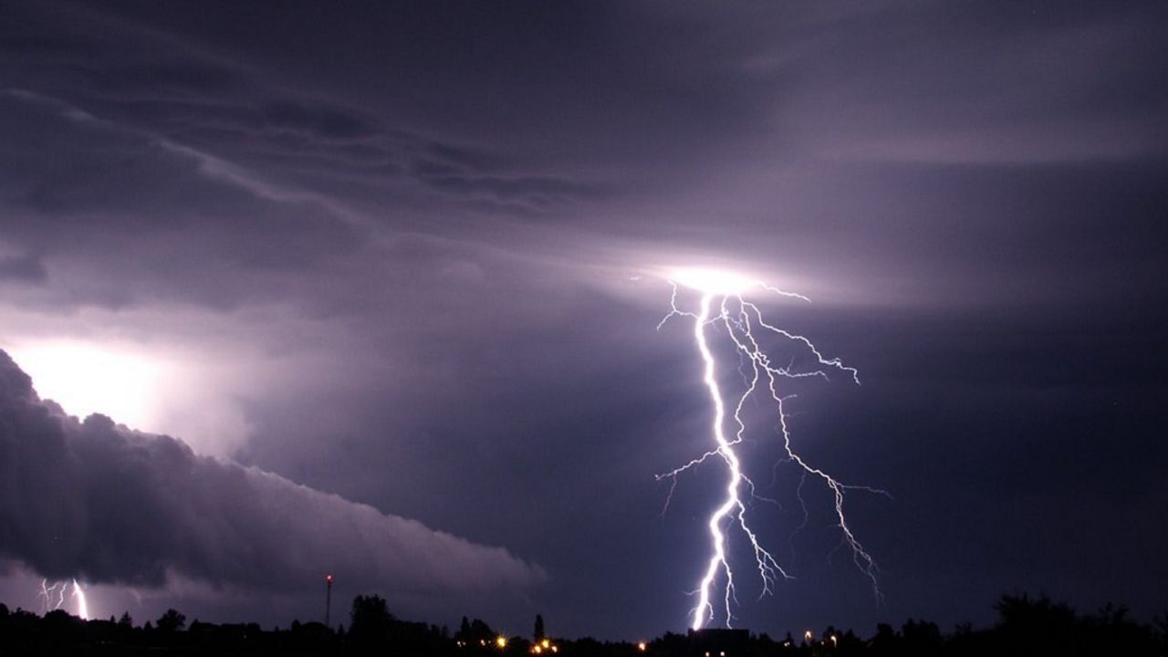
With heat and humidity in place and a cold front approaching the region, expect thunderstorms to develop. The timeframe for the development of these storms is late afternoon into evening, ahead of the front.
The region saw sunshine and temperatures soar into the 90s and with dew point values well above 70 degrees, so ample moisture and instability is available is strong storm development.
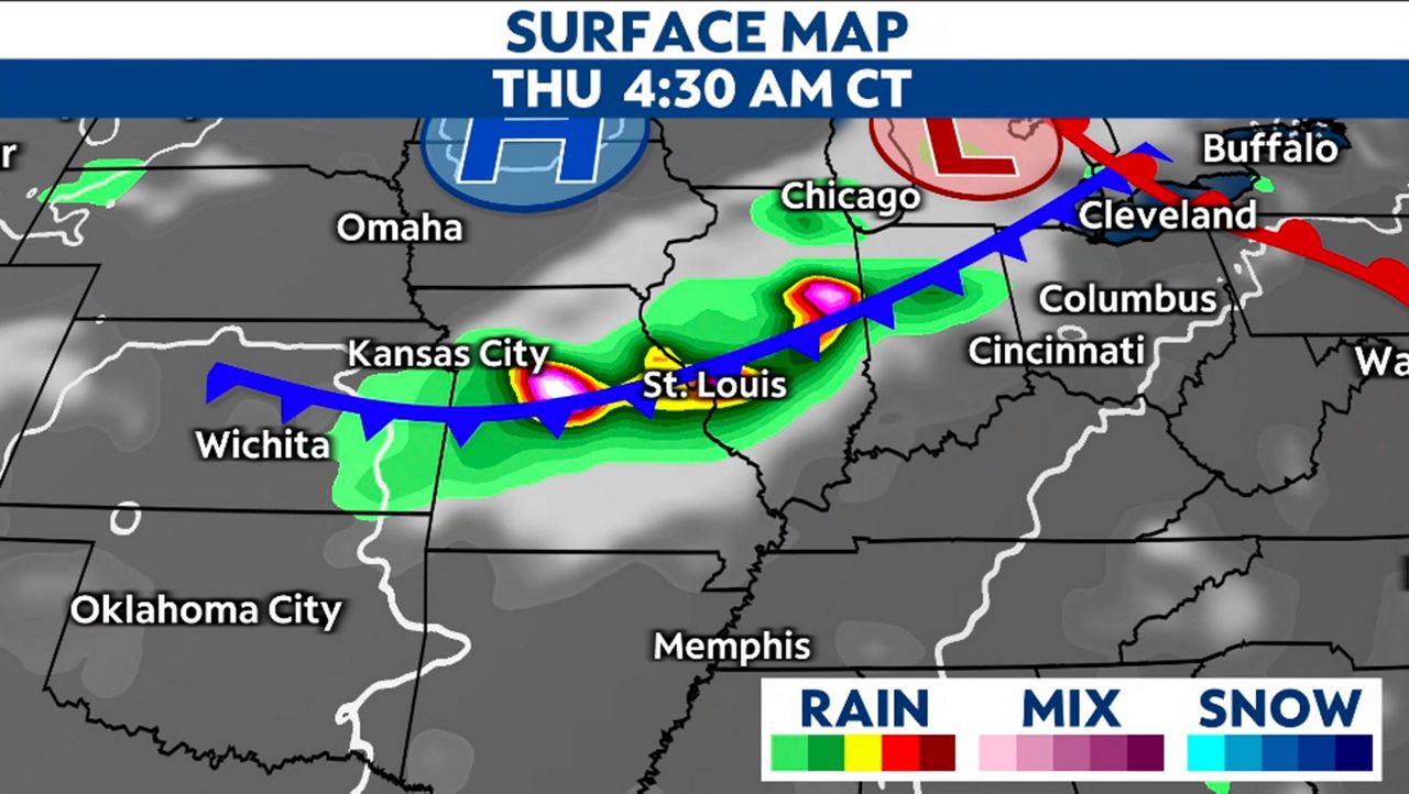
The Storm Prediction Center has the region under a level 2/5 threat for severe storms, meaning there is a slight risk for storms to become severe and contain gusty winds and hail.
The bigger threat for the region will be the possibility of heavy rain. With already saturated grounds and 1-2” + of rainfall forecasted, the region may once again see ponding on the roadways.
Hard-hit areas like St. Charles County are already taking the steps to reduce the flood risk. St. Charles County Emergency Management confirmed today that all reported clogged drains in unincorporated St. Charles County have since been cleared.
St. Louis County, Metropolitan St. Louis Sewer District received over 3,000 calls about clogged drains from the storms last week. They have since cleared about half of them and are continuing to work through the rest.
They stress that residents should be mindful of debris around their properties, including trash and tree. Any loose items have a tendency to blow into the drains and clog them.

The gauges for all the local rivers and creeks in the area show no flooding. This means that while last week the waterways rose above the flood stage, they have all since returned to normal flow patterns and heights.
I spoke with Senior Service Hydrologist, Mark Fuchs, with the National Weather Service in St. Louis, MO. He explains that the recent spell of hot days has helped the region by drying out the topsoil. “1-2 inches of rain now would cause a relatively rapid rise in flow on smaller streams, though probably not as quick as last Thursday afternoon’s rise.”
Adding, “The rainfall to runoff ratio is highly variable during the summer, as we saw last week. The 6-11 inches we saw across the metro in just six hours was bad, but would have been much worse had soils been saturated at the beginning of the event."
Fuchs explains that last Thursday’s rainfall created comparably high small stream crests with far less rainfall. "I would expect soils to dry out through the summer, as significant drought is not far removed from the St. Louis area.”
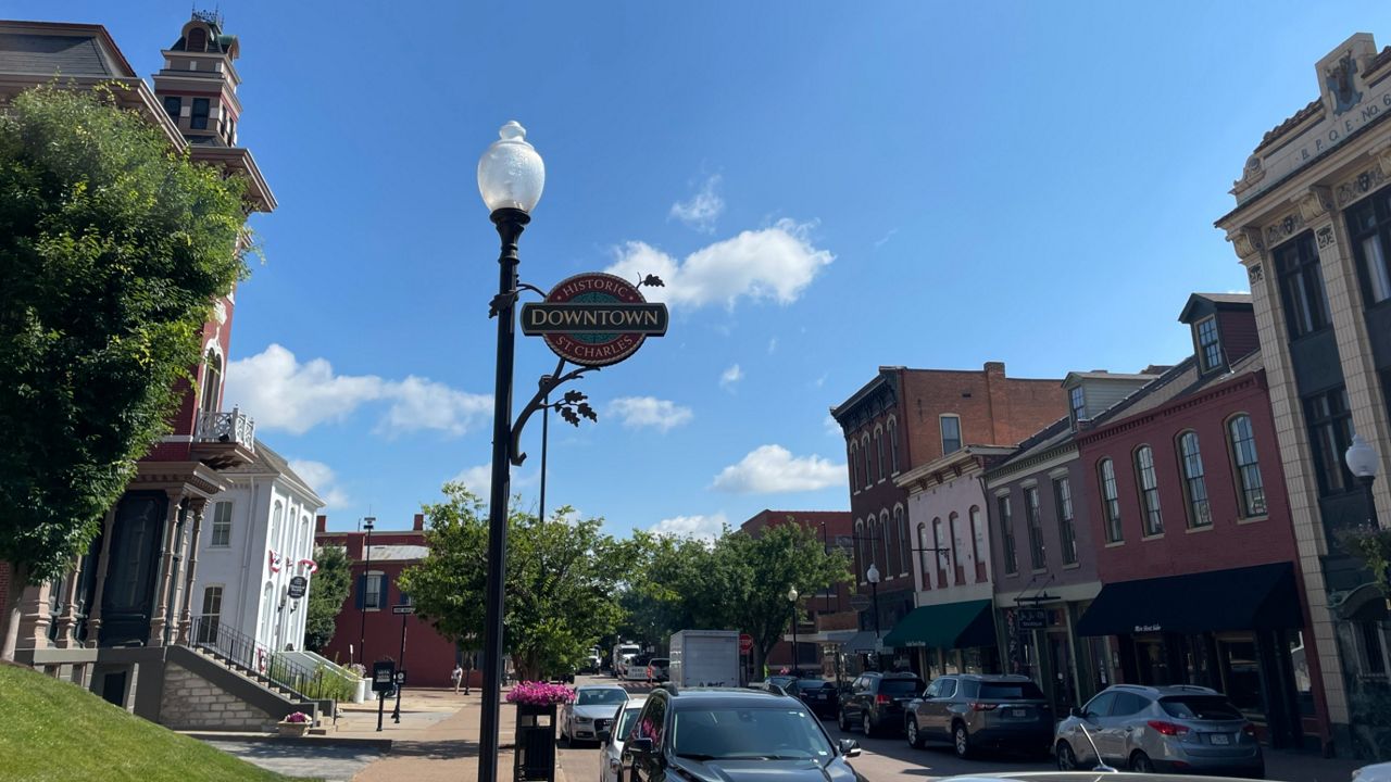
Flash flooding differs from general flooding. Talking with residents in St. Peters, MO last week after massive flooding, a lot of them compared the July 26 flooding to the Great Flood of 1993.
These two events are completely different. The 1993 flooding was due to long-term precipitation and the Missouri and Mississippi Rivers. The recent flash flooding happened because of heavy precipitation falling in a short amount of time.
Fuchs addresses the levels of the rivers. “Overall, while there was substantial runoff into both the Mississippi and Missouri rivers from last week’s excessive rainfall in the St. Louis area, the increase in flow was short-lived, and the Mississippi has returned to being below normal for this time of the summer."
The Missouri has remained below normal all summer long, with both flows at Missouri River at St. Charles and Mississippi River at St. Louis, respectively, in the 27th and 28th percentiles.
Adding, it’s not only what happens in the St. Louis area that influences the rivers. Upstream rainfall plays a role in our region. “If we don’t get significant rainfall in the Plains or upper Mississippi Valley soon, we may begin seeing low water concerns on both rivers in the months ahead.”
Our team of meteorologists dive deep into the science of weather and break down timely weather data and information. To view more weather and climate stories, check out our weather blogs section.