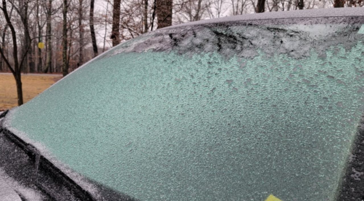
After this week’s winter weather and a morning low of 13 degrees, the chill in the air brings about discussions of the polar vortex.
What is this phenomenon, and how does it affect St. Louis' weather?
The polar vortex is an area of fast-moving westerly winds about 10-30 miles above the North Pole in the stratosphere.
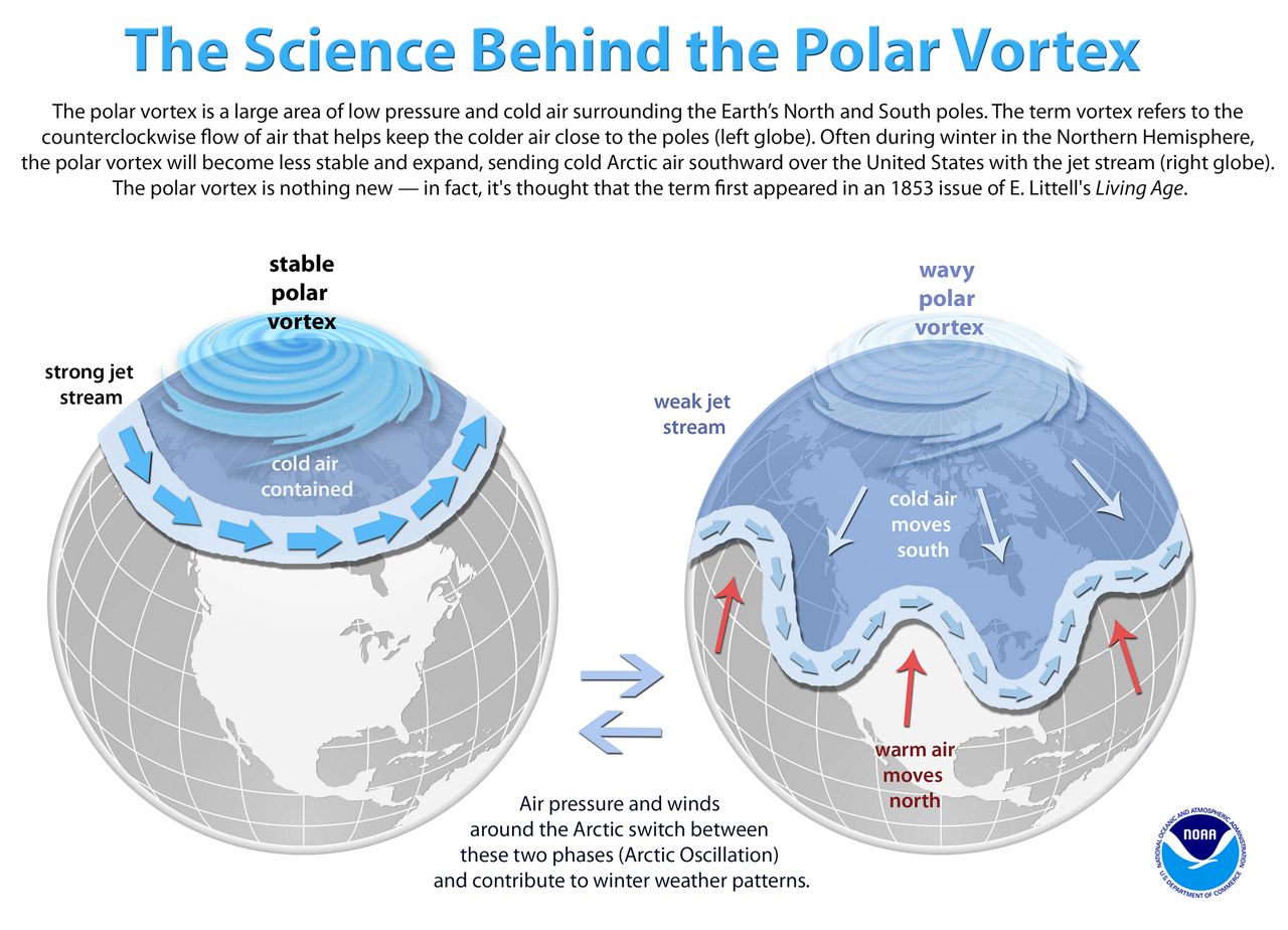
Inside this area of winds is frigid air at the surface that usually parks itself around the pole for the winter. However, every few years, these fast westerlies weaken.
The protective barrier around the cold air breaks down, allowing warmer air to move north into the polar region and cold air to push south into the mid-latitudes into places like the United States.
This cold air can situate itself in the mid-latitudes for an extended period.
This was the case in February 2021.
This cold air ushered as far south as Mexico and broke records all over the United States.
Parts of Texas recorded their lowest readings in over 100 years, and with this cold came an immense strain on the power grid.
Here in the Show Me state, it wasn’t as bad of a situation, but we endured a prolonged cold streak.
Here's our timeline:
February 5, 2021, the high temperature at St. Louis Lambert International Airport was 45 degrees. That was the last day our mercury climbed to the freezing mark until Feb. 19, 2021. We had 13 straight days of below freezing temperatures.
We had several days of highs in the single digits and three nights where lows dropped to zero or colder. The coldest reported temperature was -4 degrees on the 16th.
February 2022 doesn’t compare to 2021 with that depth of cold, seeing we only had four days below freezing for high temperatures this month. It's been mild in comparison.
Ten days have been warmer than average, and we still have several days of the month to go.
Just because it is cold doesn't always mean that it is snowy. There is no correlation between the polar vortex and snow.
Both February 2021 and 2022 are similar in snowfall observations, despite one being influenced by the polar vortex.
We’ve observed 7.5 inches so far in February 2022 at Lambert International Airport, compared to the 8.8 inches for all of February 2021.
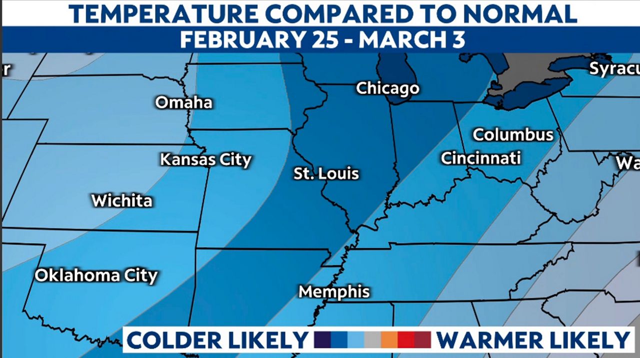
As we look to the last week of February and first week of March, the climate prediction center forecasts much colder than average temperatures for the region.
Is there a chance our region ends up back in the deep freeze? We’ll keep you posted. For now, we expect a warmup early next week.