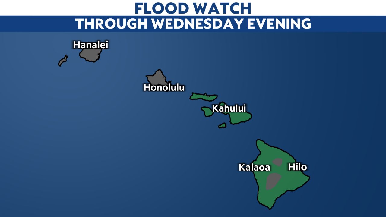
Most of the state remains under a Flood Watch through Wednesday evening, while a wintry mix affects the summits of the Big Island.
A cold front passing over the islands on Wednesday will continue to bring periods of heavy rainfall, gusty winds and thunderstorms the rest of the day.
Areas of heavy rainfall and downpours can lead to flash flooding, especially for flood prone roads and low-lying areas. Urban areas can receive rapid runoff that could lead to more significant flooding.

If you see excess water on the roads, find a different route. Even if there is no flooding in your area, drive slowly, as ponding on the roads could increase the chances for hydroplaning.
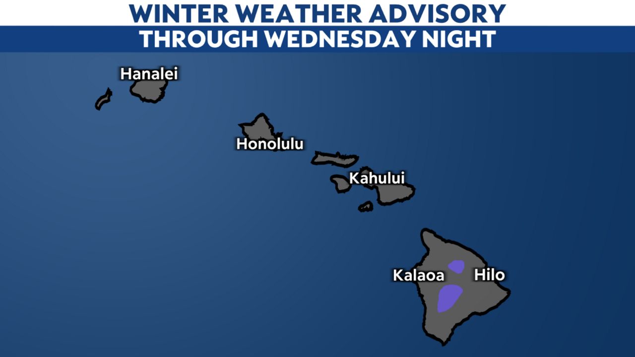
On the Big Island, the summits will deal with a wintry mix of light snow and freezing rain, along with strong wind gusts up to 55 mph. A Winter Weather Advisory is in place there.

The front will stall and weaken near the Big Island on Thursday, eventually dissipating toward the end of the week. Lighter winds will develop on Friday and take us into the weekend, with just a few isolated showers.
To see current conditions and the latest forecast in your area, click here.
Our team of meteorologists dives deep into the science of weather and breaks down timely weather data and information. To view more weather and climate stories, check out our weather blogs section.


