


The Federal Emergency Management Agency, state Department of Land and Natural Resources and City and County of Honolulu are inviting Oahu residents to learn about updated Flood Insurance Rate Maps for the island at in-person or virtual informational open house events next month.
Federal, state and local agencies use FIRMs to identify high-risk flood zones, determine flood insurance requirements, and regulate development in flood-prone areas. These maps also help residents make informed decisions about protecting their families and properties from potential flood disasters.
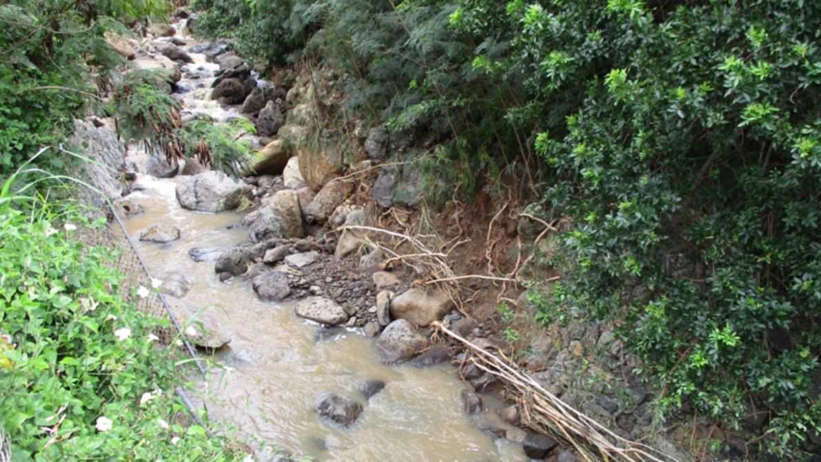
The updates are based on an extensive re-study of Oahu’s flood hazards that started in 2019. The reassessment was based on the latest hydrologic and hydraulic data to assess flood risks across multiple streams, many of which had never been evaluated before.
Preliminary updates were released on July 31. The maps provide new insights into flood risk across the island, including areas that may now face greater flood threats. A formal appeal process is scheduled for spring 2025, with the updated maps expected to be finalized in 2026.
Under the new FIRMS, some properties may now be classified within high-risk zones, known as Special Flood Hazard Areas, for the first time. Property owners in these zones who have a federally backed loan or mortgage will be required to purchase flood insurance when the maps are finalized. Oahu residents can check if their property is affected by visiting resilientoahu.org/GetFloodReady.
Notifications will be mailed to property owners in newly designated areas.
A pair of open houses are scheduled wherein FEMA, DLNR and city representatives will share information on the FIRM update process, flood risks, potential changes to flood insurance requirements and steps residents can take to protect their properties from flooding.
A virtual session will be held Nov. 4, 6 to 7:30 p.m. To register, visit resilientoahu.org/GetFloodReady. An in-person session will be held Nov. 6, 4:30 to 7:30 p.m., at Neal Blaisdell Center, first floor Hawaii Suites.
Guests requiring accommodations, such as sign language interpretation or real-time captioning, may contact the City at 768-2277 or email resilientoahu@honolulu.gov at least three business days before the event. Requests received later may not be fulfilled. Additional help is also available through FEMA’s Civil Rights Resource Line at 833-285-7448 or FEMA-CivilRightsOffice@fema.dhs.gov.
For more information on the updated flood maps and to download the preliminary FIRMs, visit FEMA’s Flood Map Service Center at msc.fema.gov. To learn about flood insurance options, go to floodsmart.gov. For specific map questions, contact FEMA’s Mapping and Insurance eXchange at 877-336-2627 or FEMA-FMIX@fema.dhs.gov.
Michael Tsai covers local and state politics for Spectrum News Hawaii. He can be reached at michael.tsai@charter.com.