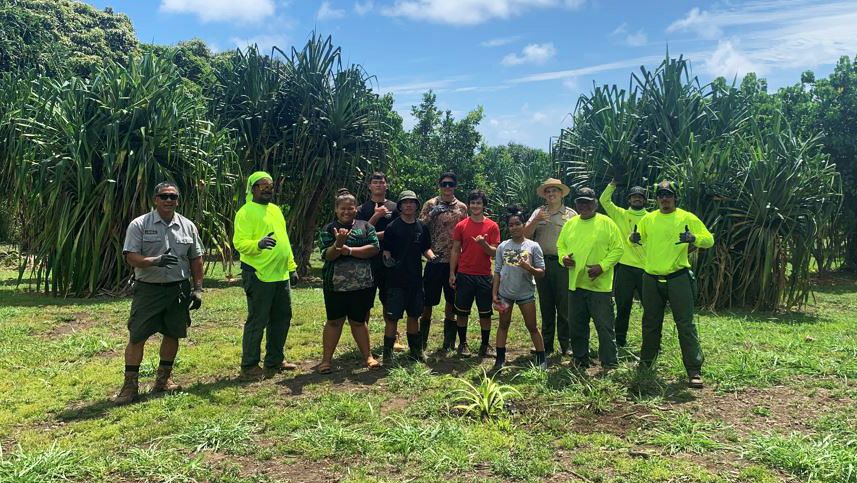


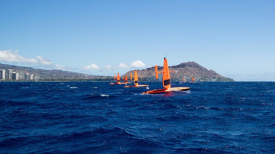
HONOLULU — Researchers are hoping to learn how climate change and ocean acidification are affecting Hawaii’s coastal waters with the use of three Saildrone Explorers, unmanned surface vehicles used to measure ocean data.
The University of Hawaii at Manoa, the National Oceanic and Atmospheric Administration’s Pacific Marine Environmental Lab, and the Cooperative Institute for Climate, Ocean and Ecosystem Studies are working with Saildrone Inc. on the project, according to a news release.
The 23-foot ocean drones set out in March on a six-month journey and will work their way around Hawaii Island, Maui, Oahu and Kauai to evaluate ocean health. They will collect real-time ocean chemistry data and images, sending them to scientists in Hawaii and Washington State to assess the state’s vulnerability to ocean chemistry changes.
The project is a part of the $50 million gift from Dr. Priscilla Chan and Mark Zuckerberg to the Hawaii Institute of Marine Biology in 2022.
The drones can provide information never before attainable through past methods.
“These ocean drones will be out sampling continuously for the next six months, providing a thousand times more ocean chemistry measurements in coastal waters than has ever been available,” said Christopher Sabine, PhD, UH Manoa interim Vice Provost for Research and Scholarship and oceanography professor in the School of Ocean and Earth Science and Technology.
The drones are beginning off the coast of Hawaii Island. Two saildrones continuously zigzag between the coastline and five kilometers offshore; the third is on a direct route around the island. Its instruments are only monitoring atmospheric and ocean properties, and are not collecting any data used to identify people, marine mammals or fish.
“The saildrones will be measuring different water quality measurements and this will help tell us a little bit about how our water chemistry is changing with climate change, and with changing ocean conditions in our nearshore environment,” said Amy Markel, an oceanography PhD student working with Sabine on the project.
The drones are equipped with safety protocols such as automated positioning and piloting based on real-time GPS location, winds and currents; managers overseeing all operations 24/7; a system to identify and avoid other vessels; and visible lights and markings to keep the drone safe.
Its ability to integrate pH and carbon dioxide measurements helps researchers better understand if near-shore waters are accumulating fossil fuel emissions that are released through the combustion of fossil fuels such as the burning of coal, oil and natural gas. Researchers can use the data to develop maps illustrating “hot spots” of ocean acidification.
The maps will show researchers “safe areas” where organisms that use calcium carbonate to accrete (build) skeletons and shells — corals, oysters, crabs, etc. — and where the water carbon chemistry will most likely erode or reduce these organisms’ ability to build their bodies.
Sarah Yamanaka covers events, environmental and community news for Spectrum News Hawaii. She can be reached at sarah.yamanaka@charter.com.