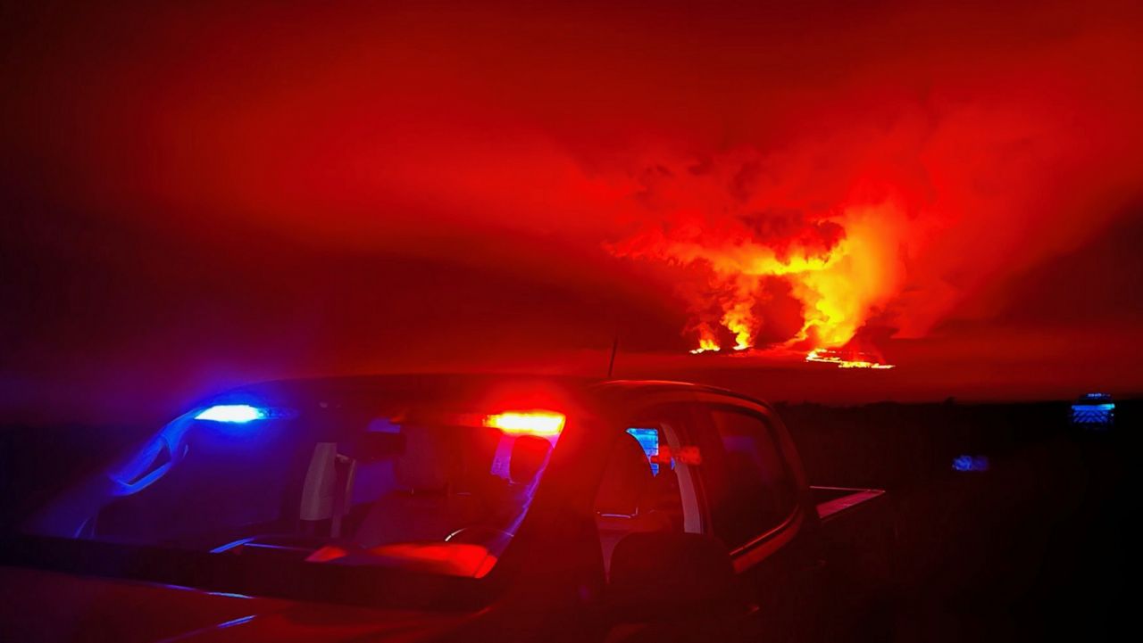
The Mauna Loa eruption continued unabated Tuesday with lava flowing from a fissure in the Northeast Rift Zone down the north flank of the volcano, according to U.S. Geological Survey geologist Mike Zoeller.
Satellite surveillance of the flow confirmed that the flow approached to within 1.75 miles of Old Saddle Road and within 1.92 miles of the Daniel K. Inouye Highway overnight. The flow is advancing at a rate of about 20 meters per hour, Zoeller reported during a Tuesday morning briefing on the eruption.
Zoeller said that while the flow continues to slow as it moves over flat land, the eruption itself shows no sign of stopping.
“Activity up at the vent on the Northeast Rift Zone continues steadily and we still see high rates of lava effusion into the upper lava channels in that region,” he said.
Zoeller said the Hawaiian Volcano Observatory has been relying on multiple means of mapping the flows emanating from the volcano. The effort has included satellite observation in conjunction with the National Civil Application Center in Reston, Virginia; helicopter mapping using digital technology; thermal mapping; drone mapping; and ground-based laser range finding.
The eruption continues to draw a large volume of visitors along the Traffic Hazard Mitigation Route.
According to Hawaii County Mayor Mitch Roth, roughly 14,000 vehicles passed through the viewing route between Friday and Monday. Traffic is expected to lighten on Tuesday due in part to unfavorable weather conditions.
Michael Tsai covers local and state politics for Spectrum News Hawaii. Email him at michael.tsai@charter.com


