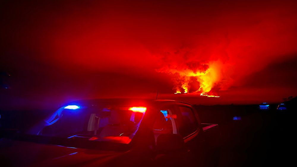
HILO, Hawaii — The Hawaii Department of Transportation issued a reminder to the public that the Daniel K. Inouye Hwy. (Route 200, formerly Saddle Rd.) was designed for high-speed driving up to 60 mph and is not meant to support high volumes of vehicles parking on the narrow shoulder, as many are doing to view the ongoing Mauna Loa eruption. They urge the public to avoid doing so.
During the eruption activity, HDOT said officials will enforce “no parking” zones between mile markers 16 and 31.
There has been an increase in activity and dangerous behaviors, according to an HDOT news release, and the agency reminds motorists that shoulders are a safety feature for disabled vehicles. They advise the public to use designated parking lots to observe the volcanic activity and to not park in areas where vehicles moving onto or out of the shoulder area could pose a hazard.
Early Monday, officers from the Hawaii Police Department and Department of Land and Natural Resources Division of Conservation and Resources Enforcement set up and are manning a roadblock 24/7 at the intersection of the Daniel K. Inouye Hwy. and Mauna Loa Observatory Access Rd., according to news release.
The DLNR Division of Forestry and Wildlife has also closed the Mauna Loa Forest Reserve and Kipuka Ainahou Nene Sanctuary for at least 90 days as a precaution due to the eruption activity. Additional closures announced Monday evening include Ainapo Trail and cabin, and the Kapapala Forest Reserve. On Tuesday morning, DLNR closed Unit J of the Kapapala Game Management Area until further notice.
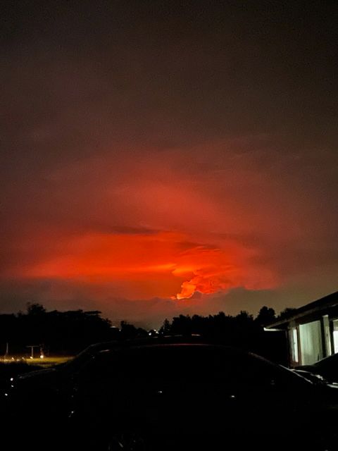
DOFAW Hawaii Island Branch Manager Steve Bergfield has the discretion to close areas as needed. Lava from previous eruptions covers much of the Mauna Loa Forest Reserve. Bergfield is concerned about the possibility of lava changing direction and flowing in the opposite direction into the Puu Makaala Natural Area Reserve. Should that happen, years of restoration work could be destroyed.
“No one should be accessing Mauna Loa at this time,” said Bergfield in a DLNR news release sent out Tuesday morning. “Our sole focus is on public safety, which depends on where lava ultimately flows.”
Numerous state reserves and natural area reserves sit on both sides of Mauna Loa, but it’s too early to tell if the eruption has impacted or will impact these areas.
On Monday, the National Park Service closed access to the Mauna Loa summit from the south. Additional closures were announced Tuesday. “As part of our eruption response plan, Hawaii Volcanoes has implemented further closures to the main, easy, access points that lead up to the Mauna Loa Summit,” said Jack Corrao, chief ranger at Hawaii Volcanoes National Park. “These include the Mauna Loa Observatory Access Road through Hawaii County, and Mauna Loa Road, known locally as ‘Strip Road.’” Corrao said physical barriers are blocking access and individuals attempting to access the areas will be subject to fines and arrest.
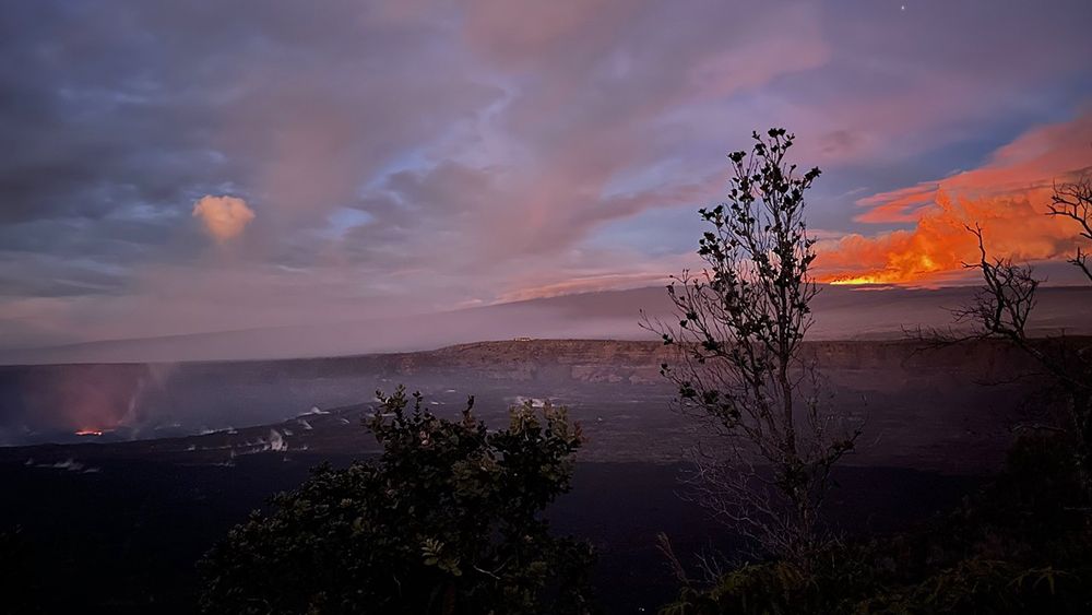
The latest update at 9:12 a.m. Tuesday by the USGS Hawaiian Volcano Observatory reported Mauna Loa continues to erupt on the Northeast Rift Zone with several active fissures and lava flows headed in a northeast direction. The longest and largest lava flow from fissure 3 crossed the Mauna Loa Weather Observatory Rd. at about 8 p.m. Monday, and was approximately six miles from Saddle Rd. as of 7 a.m. Tuesday. Fountains at fissure 3 are up to 82 feet. Fissure 4, which formed at approximately 7:30 p.m. Monday night, has fountains about 16-33 feet high.
The initial eruption site at Mokuaweoweo caldera is no longer active and there are no eruptions in the Southwest Rift Zone. Properties are currently not at risk.
At a news conference held Monday, Gov. David Ige and officials from state, county and federal agencies urged everyone on Hawaii Island to stay away from lava flows and remain vigilant.
The Hawaii Tourism Authority issued a news release on Monday in response to visitor queries stating Hawaii remains open despite the ongoing eruption.
Sarah Yamanaka covers events, environmental and community news for Spectrum News Hawaii. She can be reached at sarah.yamanaka@charter.com.


