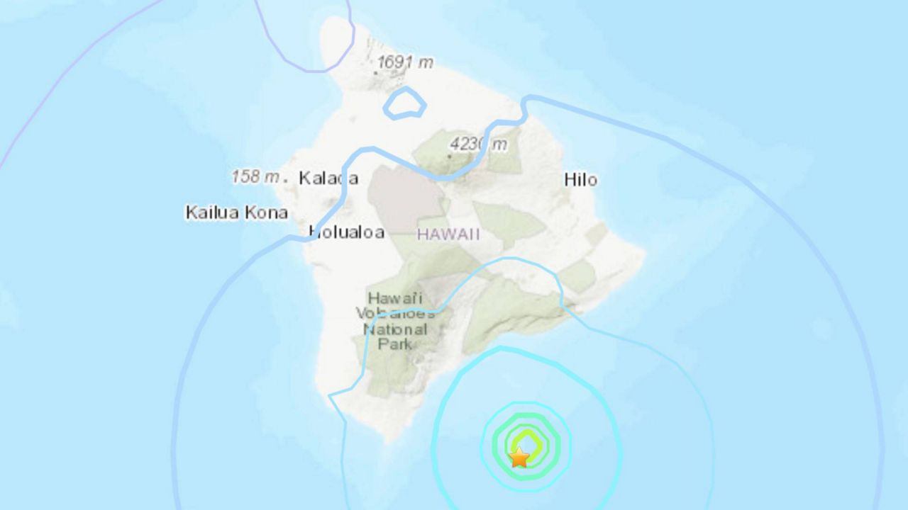
A 4.9-magnitude earthquake was recorded on Loihi volcano on Dec. 24 at 1:32 am. The temblor was centered approximately 26 miles southeast of Naalehu, at a depth of 7.5 miles.
At least 50 smaller quakes preceded the 4.9 magnitude earthquake over the past two weeks, according to the U.S. Geological Survey.
It is unknown whether the series of earthquakes was due to volcano activity.
Loihi Seamount is an active shield volcano located on the seafloor. Research indicates that eruptions are both explosive and effusive, although they have not yet been observed. The undersea volcano shares the Hawaiian hot spot with its larger siblings Mauna Loa and Kilauea. It is about 19 miles south of Hawaii Island.
Following the earthquake on Friday morning, light shaking was reported across Hawaii Island. Fifteen reports were added to the USGS’s “Did you feel it?” service within an hour of the earthquake. There was no significant damage to buildings, and no tsunami was generated.
Loihi has a history of earthquakes with records starting in 1952; the most intense swarm occurred in the summer of 1996, and included over 4,000 earthquakes.
It is not known when Loihi will rise above the ocean’s surface. The USGS estimates that it will be at least 200,000 years, although it depends upon the eruption rate.
Loihi means “long” in Hawaiian and was named in 1955 because of its elongated shape. In July, the Hawaii Board of Geographic Names voted to rename the volcano “Kamaehuakanaloa,” according to Ka Wai Ola, a publication by the Office of Hawaiian Affairs.
The name change occurred after Hawaiian scholars were researching and translating chants recorded in Hawaiian language newspapers from the 19th and 20th century, and found a reference that may be about that particular volcano: “Kamaehu” is the glowing child of Haumea (earth) and Kanaloa (sea) that rises from deep in the ocean floor.


