

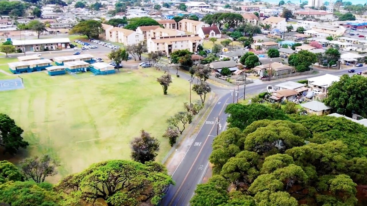
A new state and federal project is now online to allow residents, local planners and officials to view tree coverage around the state.
The interactive viewer is capable is displaying the extent and location of tree canopy (the leaves, branches and stems of trees that provide coverage over the ground) at a variety of levels and perspectives.
Provided by the U.S. Department of Agriculture Forestry Service and Kaulunani Urban and Community Forestry Program, a division of the state Department of Land and Natural Resources Division of Forestry and Wildlife, the viewer is intended to help Hawaii communities explore tree resources and make management decisions.
“Trees are vital infrastructure that make our communities more livable, loveable, and resilient,” said Heather McMillen, DOFAW urban and community forester. “Being able to clearly communicate where we need to focus our efforts to expand tree canopy will be critical as we work with community leaders and policy makers to use infrastructure funding for the greatest good, not only for now but for future generations.”
Pacific Southwest Region Forester Jennifer Eberlien called the urban tree canopy a “vital equity tool.”
“The viewer allows people to freely access statewide tree canopy layer and help identify communities disproportionately burdened by risks that urban tree cover may help alleviate,” Eberlien said.
Hawaii’s tree canopy varies widely from island to island, from 33% of the area of Hawaii island to 15% on Lanai. Tree canopy accounts for 17% of land area on Oahu.
The tree canopy layer in the viewer is made possible via a partnership with the National Oceanic and Atmospheric Administration Office for Coastal Management.
NOAA will use this data to update the agency’s Coastal Change Analysis Program, which provides Hawaii with additional data on impervious cover, wetlands and changes over time.
DLNR said fellowships will be offered to support research that uses the Hawaii tree canopy viewer and data to contribute to program and state goals.
Michael Tsai covers local and state politics for Spectrum News Hawaii.