


NORTH CAROLINA -- We're still dealing with a stalled front over northern North Carolina today. As we reach highs in the mid 80s to low 90s for many this afternoon, we'll deal with another round of isolated to scattered storms.
- The front will keep us in a warm and humid setting through the first half of the upcoming workweek
- Our rain chances will only look to increase towards the end of the week as Florence edges closer to the U.S.
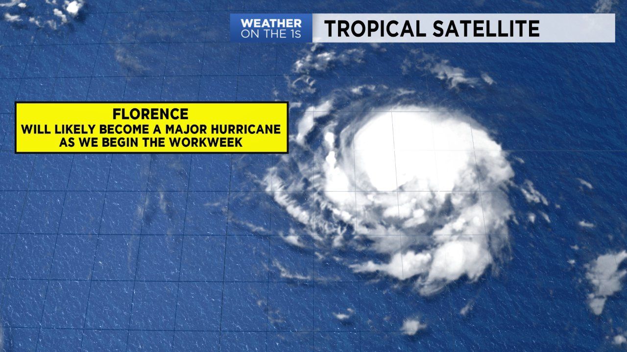
- Florence will likely upgrade to a hurricane as we head into our Sunday afternoon
The front will lift north slowly tonight as a warm front. This will keep us in a warm and humid setting through the first half of the upcoming workweek. So, our run of afternoon scattered rain is going nowhere.
Our rain chances will only look to increase towards the end of the week as Florence edges closer to the U.S. This will be our main topic of discussion.
TRACKING FLORENCE
Trends in the data paint a concerning image for the Carolinas; North Carolina especially. Florence will likely upgrade to a hurricane as we head into our Sunday afternoon. Moving through the workweek, Florence will continue to become more organized and likely become a major hurricane as early as Monday. Based of the latest data, Florence may make a late Thursday or early Friday morning landfall near Wilmington as a weak category four or strong category three hurricane. The last time North Carolina was hit by a category four hurricane was Hazel in 1954.
Yes, there's still for the forecast to change, so we'll continue to provide updates around the clock. During this time, stay informed and prepared. If Florence does make landfall here in the Carolina, there's a high likelihood of widespread impacts including downed trees, extended power outages and flooding.
Some forecast models show the storm slowing down or stalling once coming inland or just as it approaches shore. A land-falling category 4 storm that comes inland and then tracks over central North Carolina could cause power outages even in Raleigh that last for a week. This has the potential to be the worst hurricane in a lifetime for many across the state. So stay informed, prepare before the storm arrives and be ready to take action if needed.
Get the latest news, sports and weather delivered straight to your inbox. Click here to sign up for email and text alerts.