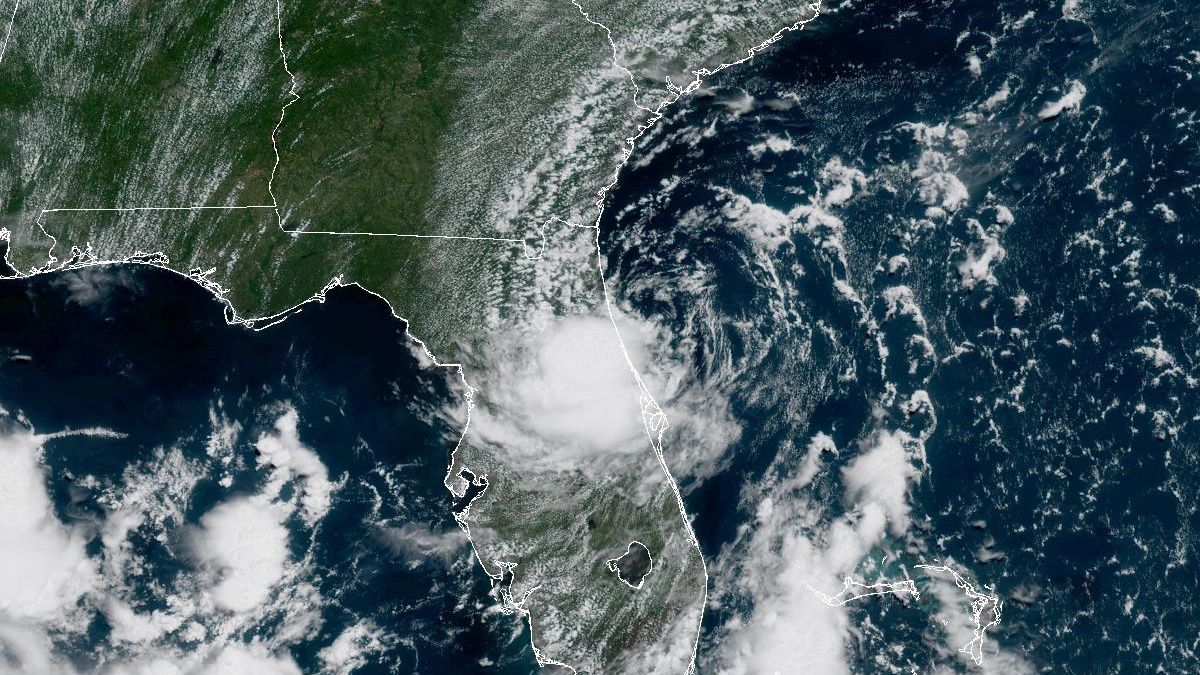
We are in for a big weather pattern change across the Carolinas this week that will result in much colder weather by the end of the week. With the cold forecast, questions about snow are already starting. If you have a smart phone app from a national outlet, you may have even seen a snowflake icon or a rain and snow icon for the Friday forecast.
Yes, there is no doubt it will be a cold Friday across the Carolinas - much colder than how we are starting the week. And yes, moisture will be moving into at least the eastern half of the state at that time. However, the end result will likely just be a chilly rain for most locations.
So why do some weather apps show a snowflake for Friday? Those national apps are relying solely on computer model data which, at times, has shown it could be cold enough for snow in parts of North Carolina.
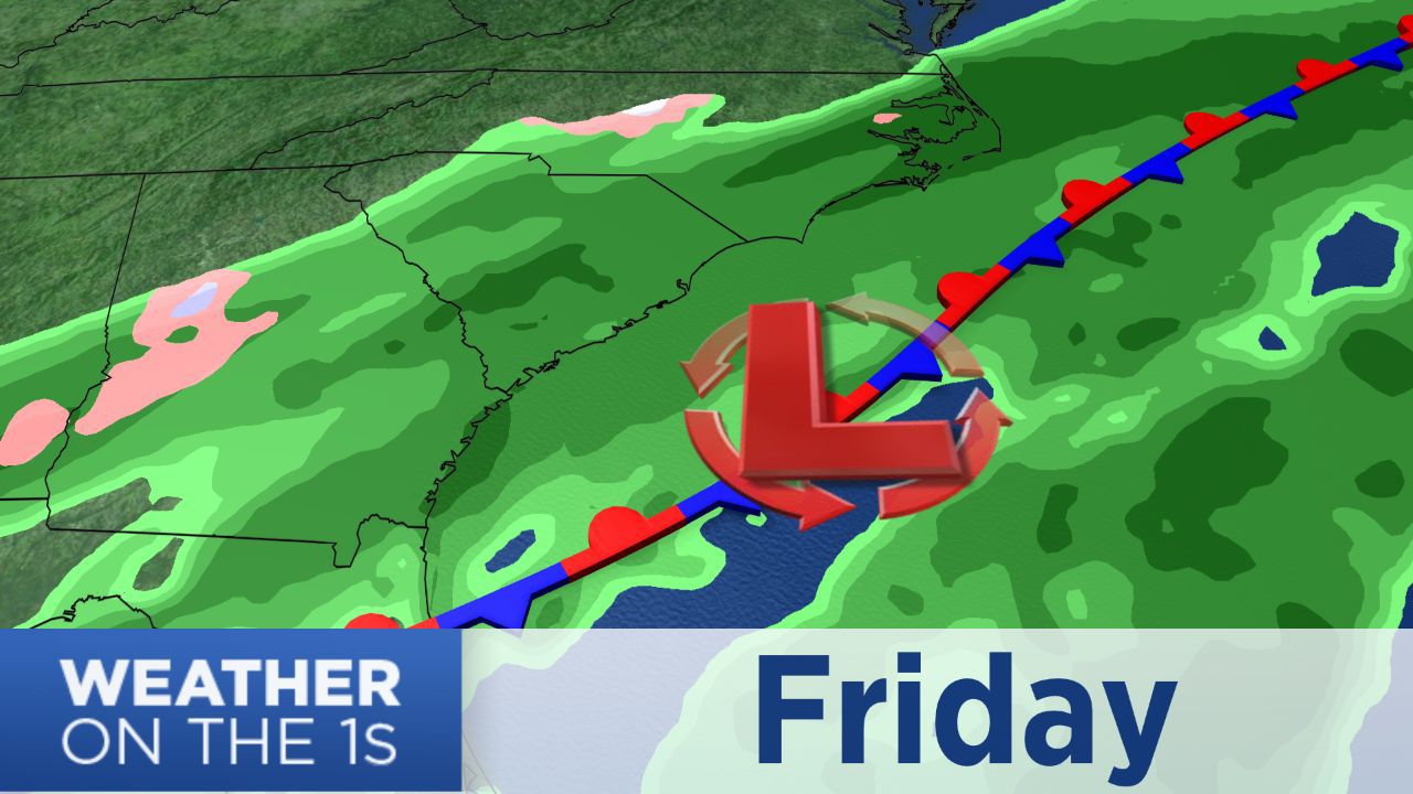
However, as experienced forecasters in the Carolinas, we know this is not the classic setup for snow to fall outside of the mountains. Not only do we need cold air before the precipitation arrives, but we need a constant supply of cold air from the north. In a classic Carolina snowstorm, that cold air is provided by a strong area of high pressure over the northeastern United States.
It just does not appear that high pressure will be in the proper location to provide that cold air source needed for snow Friday. As moisture moves in from the coast, the atmosphere will warm up just enough for the chilly rain we are forecasting for at least central and eastern parts of the state. Temperatures may struggle to warm to the low and mid 40s in central North Carolina, but it will be above freezing.
A second blast of cold air could move into the region late Friday as the chilly rain is ending. That looks to be the classic case where there is just not enough moisture left as the coldest air arrives. If Friday's moisture makes it far enough inland, parts of the Piedmont could see the chilly rain end with a few snowflakes. That type of scenario rarely brings an accumulation.
Could things change? Sure, I'm writing this post Monday morning and things are always subject to change in a forecast that is several days away. However, the chance that the forecast becomes snowier looks extremely low.
If you really want to see snow, the mountains will be the place to be this week. Snow showers are possible in portions of western North Carolina Wednesday morning and again Friday night.
Snow lovers should not be too disappointed at this point. It is still very early in meteorological winter. The greatest chance for snow in this part of the country typically comes in January and early February. The long range outlook calls for a drier than normal winter, but snow could still fall at some point.
For updates on the forecast this week plus reliable and responsible weather coverage through the winter, stay tuned to Weather on the 1s on Spectrum News.