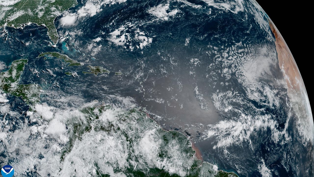
As Hurricane Florence continues to approach the Carolina coast, a dramatic shift to the south with it's most recent tracks has resulted in an increase in our impacts here for Charlotte, the Piedmont, and the High Country. More significant rain and wind impacts are now possible.
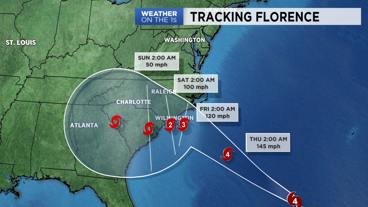
Florence continues to remain as a Category 4 hurricane as it moves towards the Carolina coast. Confidence leading up to landfall has now increased, where landfall somewhere near Wilmington/Cape Fear appears more likely Thursday evening into early Friday morning. This storm is also expected to stall as it makes lanfall, leading to a very dangerous scenario for the North Carolina coast, where they'll likely experience a longer duration of life threatening impacts including storm surge, strong winds, and major flooding.
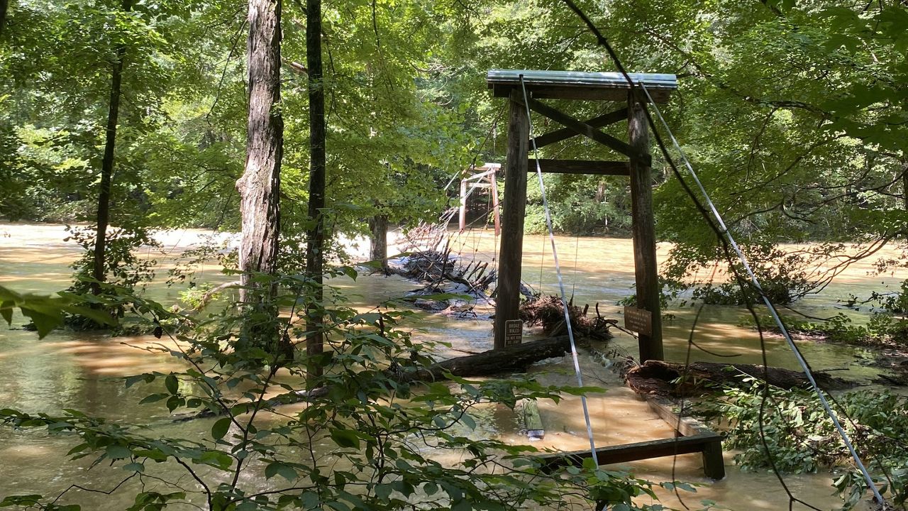
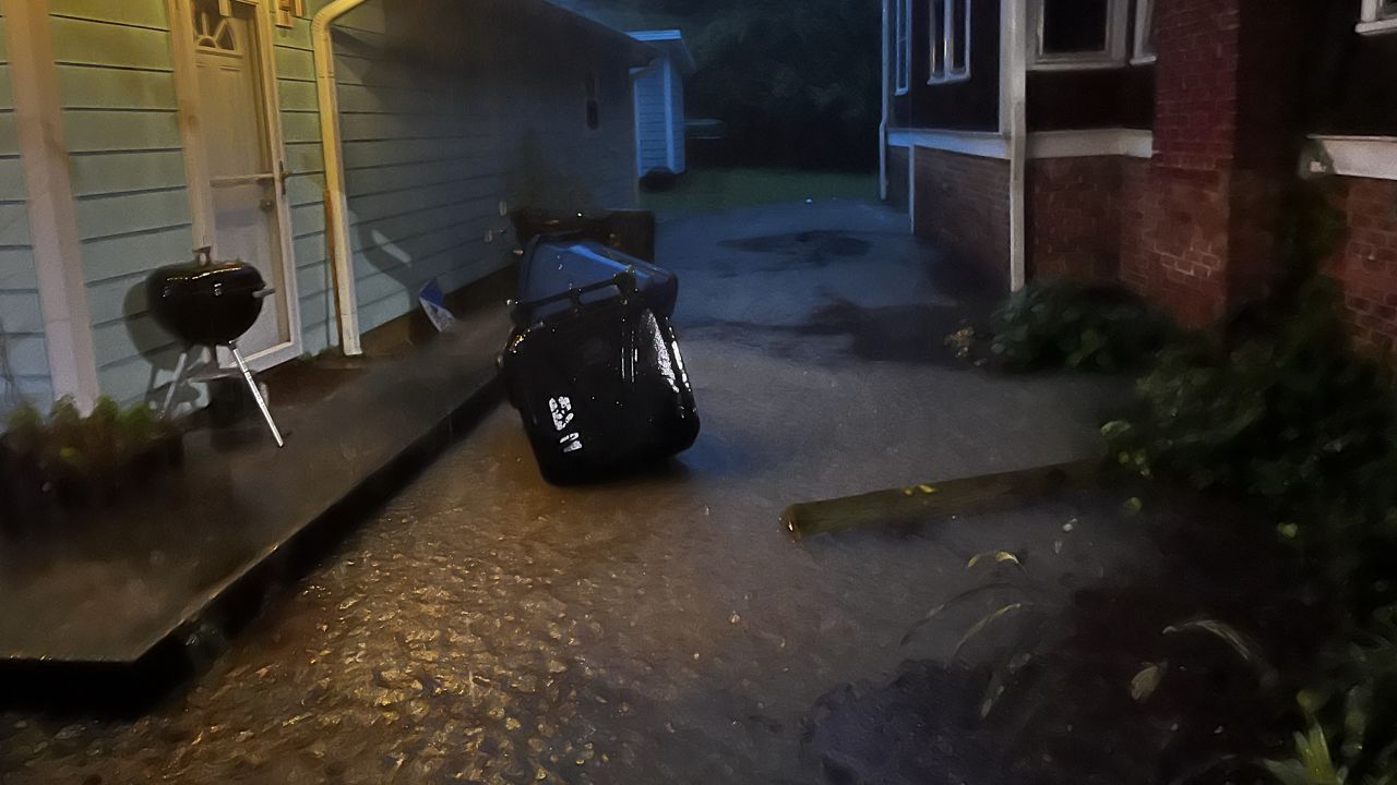
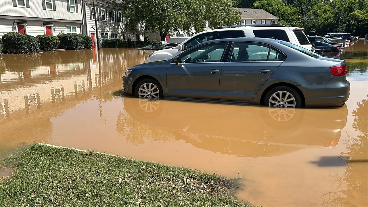
Once Florence makes its way to land, it is expected to slow to a crawl as it moves westward. The current track puts us in a possible northeastern side of the storm, which would mean a better chance for heavy, flooding rains and tropical storm force winds. We'll likely start to feel winds pick up by late Friday. It currently appears some of the the heavier rains will begin moving in late Saturday into Sunday and continue into early next week as the storm slowly meanders away. While there is still uncertainty regarding where the heaviest of the rain will set up, its important to make preparations now for potential inland flooding and power outages. As always, stay tuned!