


A cold front that passed through Tuesday afternoon and evening will work southward today, ushering in drier, less humid air in behind it for the next few days.
- Drier and less humid air for the next few days.
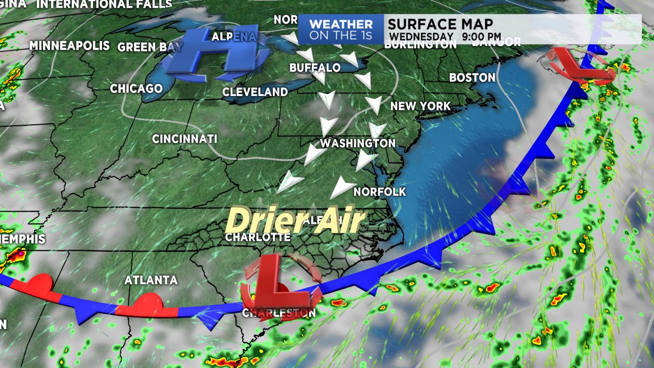
- Cold front continues to be driven southward.
- Highs will be in the upper 80s to low 90s.
Wednesday will finally feature a break form the humidity we've endured over the weekend and the start of the work week. The cold front that passed through Tuesday will continue to be driven southward as high pressure builds in from the north. With this, expect a much drier day on tap, with comfortable dew points in the upper 50s to low 60s and minimal chances for showers. The western Sandhills region may see a spot, isolated shower by the afternoon, but most should enjoy a decent amount of sunshine with highs in the upper 80s to low 90s.
Thursday and Friday will remain fairly similar, with quiet, mainly dry conditions and near average temperatures. Storm chances will increase over the weekend as an additional cold front approaches from the west.
Get the latest news, sports and weather delivered straight to your inbox. Click here to sign up for email and text alerts.