


NORTH CAROLINA -- A cold front moving through Friday afternoon will first bring chances for some needed rainfall and storms, then some welcomed relief from the July heat and humidity heading into the weekend.
- Cold front moves through Friday afternoon.
- It will bring a chance for rainfall and storms.
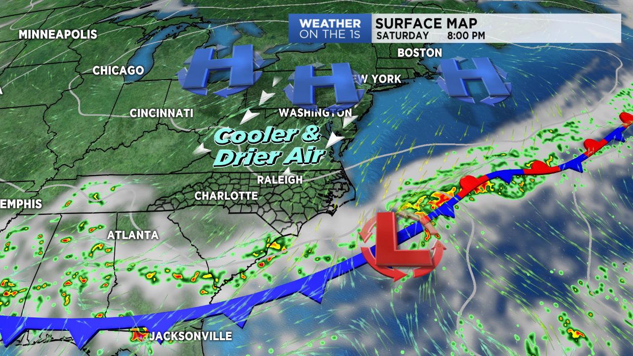
- Cooler air will begin to move in Friday night.
While many will start the day off dry, rain and storm chances will begin to pick up shortly after noon for the mountains and Triad as a cold front begins budging in from the north. These showers and storms will continue to spread eastward throughout the rest of the day into the Piedmont. While the Storm Prediction Center hasn't issued any severe risk for today, a handful of strong -- and possibly an isolated severe storm -- cannot completely be ruled out. Today will be the last day of the heat and humidity, with highs topping off in the upper 80s to low/mid 90s, before a drastic cool down for Saturday.
Cooler air will begin to move in behind the front Friday night. Lingering showers may be possible through Saturday morning with abundant cloud cover sticking around through the day. With the infiltrating cool air and mostly cloudy skies, most areas should only reach into the 70s Saturday afternoon, with some southern locations ending out the day in the low 80s. Sunshine will make a comeback Sunday and be coupled with slightly below average temperatures and low humidity -- a beautiful end to the weekend.
Get the latest news, sports and weather delivered straight to your inbox. Click here to sign up for email and text alerts.