


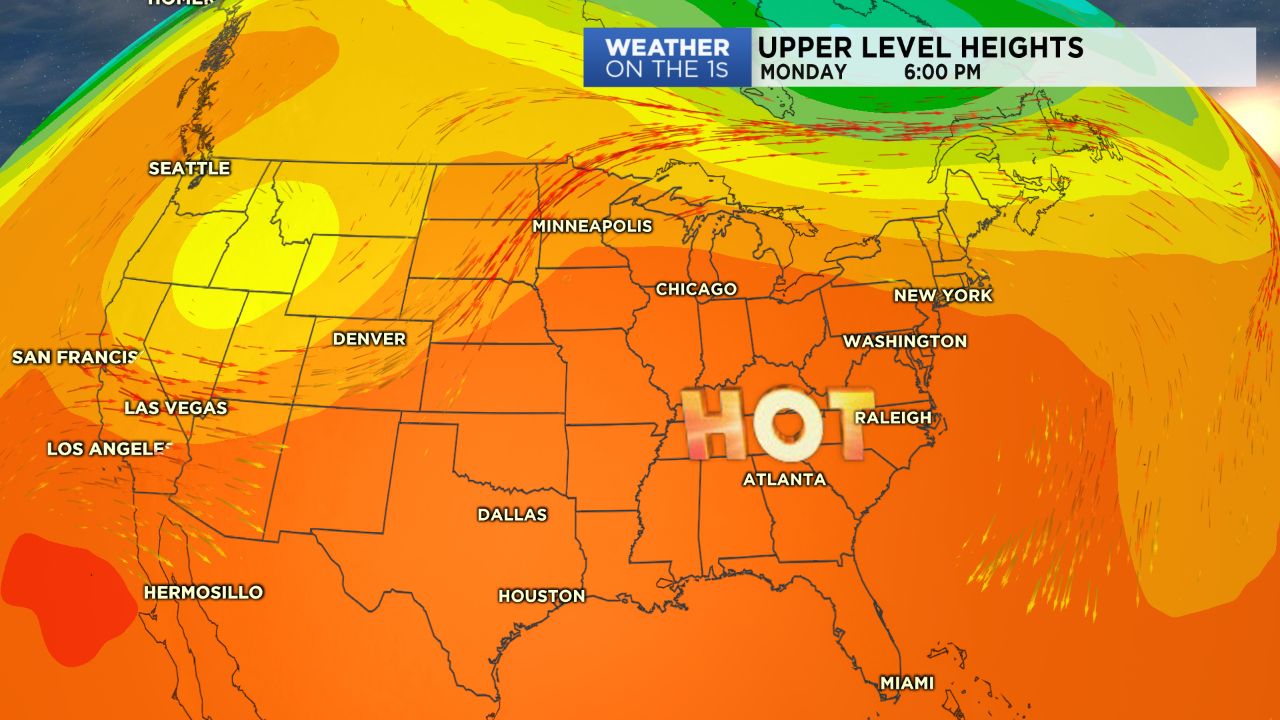
Heat continues to build for the start of the work week after a day in the mid and upper 90s Sunday. Heat index values could be as high as 104 degrees for some by Tuesday and Wednesday.
- Extreme heat has arrived.
- Isolated afternoon storms possible.
- Slightly lower temperatures return by end of the week.
A ridge of high pressure building over the eastern half of the United States will lead to a stretch of hot and humid days through the middle of the work week with minimal chances for rain and storms.
Monday will feature mostly sunny to partly cloudy skies with highs in the mid to upper 90s and only a small chance for isolated afternoon storms.
This trend will continue through Wednesday, with storm chances focused in the mountains.
The heat will really be the main story, as highs will be about 10 degrees above average and be coupled with dew points in the upper 60s to low 70s, allowing for heat index values to perhaps surpass the 100 degree mark for some.
Make sure to stay hydrated and never leave pets or children in the car!
A small cool down along with better chances for rain and storms will arrive by the end of the week.
Get the latest news, sports and weather delivered straight to your inbox. Click here to sign up for email and text alerts.