


Temperatures continue to crank Friday to unseasonably warm levels all ahead of a strong storm system that will bring rain and storms over the weekend.
With high pressure continuing its track off the East Coast, a steady southerly flow will allow temperatures to warm right back to and above Thursday's levels, with highs expected to top off in the 70s to low 80s under plenty of sunshine. Friday night will feature quite weather with high level clouds building into Saturday morning.
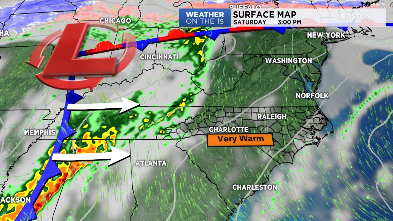
A strong system moving from the Northern Plains into the Great Lakes region will drag its cold front through the Mississippi Valley Friday into Saturday. Saturday will make for a dry start to the weekend, but clouds should continue to increase throughout the day with temperature readings expected to be as warm as Friday's. By early Sunday, the front will begin making its way into the Blue Ridge, spreading rain from west to east throughout the day.
Sunday could shape up to be an interesting day as far as severe weather goes. Enough instability will certainly be present by Sunday afternoon and evening to produce some strong to severe storms as the front works eastward, particularly for areas to the east of the I-77 corridor. If strong storms do happen to develop, hail, gusty winds, and even an isolated tornado will be possible along with periods of heavy rainfall. Stay tuned for updates!
Get the latest news, sports and weather delivered straight to your inbox. Click here to sign up for email and text alerts.